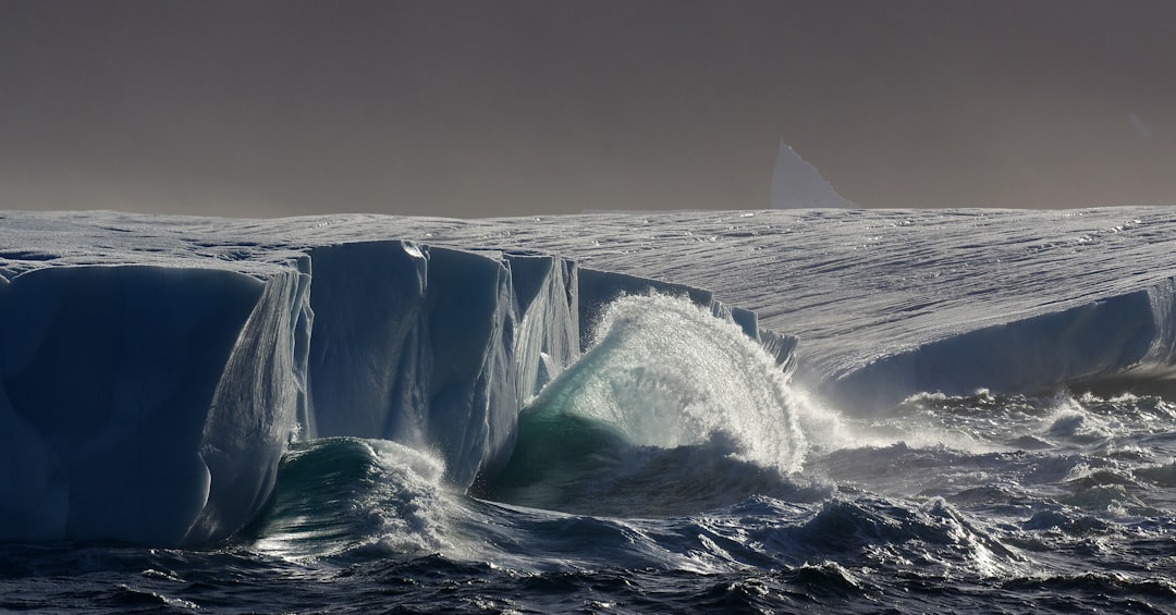
The vast, seemingly immutable ice sheet of Greenland, a frozen titan covering 80% of the island, has long been perceived as a pristine, timeless landscape. Yet, beneath its frigid embrace lies a history far richer and more complex than often imagined. For centuries, this monumental ice sheet has acted as both a protector and a shroud, preserving secrets that are only now, with the advancements in technology and a growing understanding of our planet’s past, beginning to be unveiled. Uncovering Greenland’s hidden history is not merely an academic pursuit; it is a crucial endeavor that sheds light on human adaptation, ancient ecosystems, and the profound impact of climate change across millennia.
The story of human habitation in Greenland is intrinsically linked to the icy environment. Long before the arrival of Norse settlers, and even before the more recent Inuit populations, other cultures left their mark on this harsh, yet habitable land. The remnants of these early peoples, their tools, their dwellings, and their very existence, are often preserved in remarkably good condition beneath the ice, offering invaluable insights into their lives and their profound understanding of the Arctic.
The Dorset Culture: Masters of the Pre-Dorset Transition
The Dorset culture, flourishing from approximately 500 BCE to 1000 CE, represents a significant chapter in Arctic prehistory. These were highly skilled hunters and artisans who adapted remarkably well to the prevailing conditions. Their archaeological sites, often found in coastal areas that have since been glaciated or buried by snow, provide a tangible link to their existence. Excavations have revealed intricately carved bone and ivory tools, including harpoon heads, scrapers, and miniature animal figurines, demonstrating their sophisticated craftsmanship and their deep connection to the marine environment. The Dorset people were particularly adept at hunting seals and whales, crucial for survival in this unforgiving landscape. Evidence suggests they possessed a profound understanding of animal behavior and the seasonal cycles of the Arctic. Their settlements, though often small and dispersed, speak to a nomadic lifestyle dictated by the availability of resources. The challenges of excavating and preserving these sites are immense, with archaeologists often working in extremely remote and environmentally demanding conditions. The constant threat of permafrost thaw and the movement of ice present significant logistical and preservation hurdles.
The Thule Culture: Architects of Arctic Survival
Following the Dorset, the Thule culture emerged around 1000 CE and is considered the direct ancestor of modern Inuit peoples. The Thule people were even more profoundly adapted to the Arctic, developing innovative technologies and strategies that allowed them to thrive across vast distances. Their expansion from Alaska eastward across the Arctic coastline and into Greenland marked a significant demographic shift. Their presence is evident in the numerous sod houses, often partially or fully buried by snow and ice, that dot the Greenlandic landscape. These structures, typically semi-subterranean with stone and whalebone frameworks, provided excellent insulation against the extreme cold. The archaeological record associated with the Thule culture is rich with evidence of their hunting prowess, particularly their mastery of whaling. Large whale bones are frequently found at their sites, indicating the scale of their hunts and their ability to utilize every part of their quarry. Their kayaks, umiaks (large skin boats), and dog sleds were essential for transportation and hunting, allowing them to exploit both marine and terrestrial resources. The Thule expansion into Greenland is a testament to their resilience and adaptability, and their descendants continue to inhabit the island today, carrying forward a legacy of Arctic survival. Understanding their resource management strategies and their intricate knowledge of the environment offers crucial lessons in sustainability.
Recent studies have revealed that the Greenland ice sheet may hold secrets of ancient civilizations and ecosystems long buried beneath its icy surface. As researchers delve deeper into this hidden history, they uncover artifacts and geological evidence that could reshape our understanding of human migration and climate change. For more insights on this fascinating topic, you can read the related article at Unearthing Ancient Secrets: Revealing Hidden History.
Norse Greenland: A Fading Legacy in a Changing Climate
The arrival of Norse settlers in Greenland around 985 CE, led by Erik the Red, marked a dramatic, albeit ultimately transient, chapter in the island’s history. For nearly five centuries, these Scandinavian farmers and herders established settlements in the southwestern fjords, creating a European outpost in the North Atlantic. However, their eventual disappearance remains one of the most enduring mysteries of Greenlandic history, a stark reminder of the power of environmental forces.
The Eastern and Western Settlements: Pillars of Norse Society
The Norse established two main settlement areas: the larger Eastern Settlement (Eystribyggð) in the Qaqortoq region and the smaller Western Settlement (Vestribyggð) near modern Nuuk. These were not merely outposts; they were functioning communities with farms, churches, and a social structure mirroring that of their homeland. Archaeological evidence, including the remains of stone houses, longhouses, and churches, paints a vivid picture of their daily lives. Excavations have revealed artifacts such as iron tools, spinning whorls, and pottery, indicating their agricultural practices, their reliance on trade, and their efforts to recreate familiar aspects of their European culture. The presence of churches, most notably the cathedral at Garðar, underscores the importance of Christianity in their society. These settlements were strategically located in areas with relatively fertile soil and access to grazing land, essential for their livestock of sheep, cattle, and goats. The Norse also engaged in hunting and fishing, supplementing their agricultural base.
The Enigma of Disappearance: Climate and Isolation
The demise of the Norse Greenlanders is a complex puzzle with multiple contributing factors, but climate change is widely considered the primary culprit. The Medieval Warm Period, which initially favored Norse settlement, eventually gave way to the Little Ice Age, leading to colder temperatures, increased sea ice, and shorter growing seasons. This environmental shift would have severely impacted their agricultural production and their ability to sustain their livestock. Furthermore, the Norse likely contributed to their own downfall through environmental degradation. Overgrazing by their livestock may have led to soil erosion, reducing the productivity of the land. Trade with Norway, a crucial link for obtaining essential goods like iron and timber, also appears to have dwindled, further isolating the settlements. The Black Death, which ravaged Europe in the mid-14th century, may have also played a role by decimating the population in their homeland and disrupting trade routes. The precise moment and cause of their final disappearance remain debated, but the archaeological record shows a gradual decline in population and activity before their complete absence. The ice sheet itself, while not directly causing their demise, would have made overland travel and access to resources increasingly difficult as the climate cooled and ice advanced.
The Ice Core Chronicles: A Frozen Archive of Earth’s Past
Perhaps the most profound way Greenland is revealing its hidden history is through the meticulous analysis of its ice cores. These cylindrical samples of ice, drilled from deep within the ice sheet, are not just frozen water; they are time capsules, preserving atmospheric conditions, volcanic eruptions, and even ancient dust from distant lands. Each layer of ice represents a year, or sometimes a season, of snowfall, trapping tiny bubbles of ancient air and particles that provide an unparalleled record of Earth’s climate over hundreds of thousands of years.
Deciphering the Layers: Climate and Atmospheric Records
The process of extracting ice cores is an extraordinary feat of engineering and scientific dedication, often involving drilling thousands of meters into the ice sheet. Once retrieved, these cores are brought to specialized laboratories where scientists meticulously analyze them. By examining the isotopic composition of the water molecules, they can determine past temperatures. The trapped air bubbles provide direct samples of ancient atmospheric gases, allowing scientists to reconstruct historical levels of carbon dioxide, methane, and other greenhouse gases, offering critical context for our current climate crisis. The presence of dust particles, volcanic ash, and even pollen within the ice can reveal information about past weather patterns, dust storms, and vegetation cover, sometimes from continents far removed from Greenland. These ice cores offer an invaluable baseline for understanding natural climate variability and for distinguishing human-induced climate change from natural cycles. The long-term perspective provided by these cores is essential for accurately modeling future climate scenarios.
Greenland’s Volcanic Fingerprints: Tracing Eruptions Through Time
One of the most striking discoveries within ice cores is the identification of volcanic ash layers. Major volcanic eruptions eject vast amounts of ash and aerosols into the atmosphere, which can travel long distances and eventually settle on glaciers, forming distinct layers within the ice. These ash layers act as chronological markers, allowing scientists to date different sections of the ice core with remarkable accuracy. By analyzing the chemical composition of these ash layers, researchers can often pinpoint the source volcano of the eruption, even if it occurred thousands of kilometers away. This has enabled the reconstruction of past volcanic activity, providing insights into the frequency and magnitude of eruptions, and their potential impact on global climate. For instance, the ice core record has been instrumental in identifying and dating the massive eruptions of volcanoes in Iceland, which have historically had a significant influence on Greenland and the surrounding North Atlantic region. The study of these volcanic fingerprints offers a powerful tool for understanding past climatic disturbances and their ripple effects.
Subglacial Secrets: Unveiling Hidden Landscapes and Lost Worlds
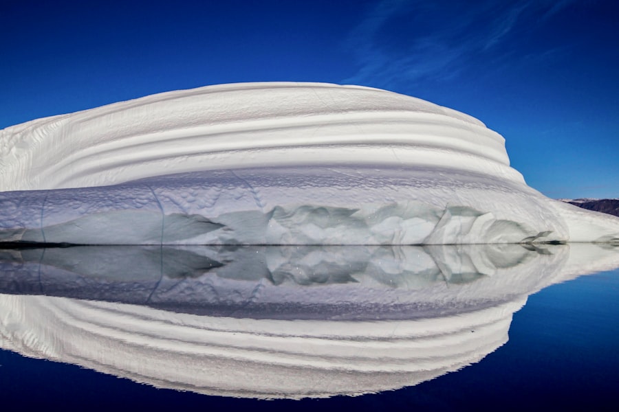
Beneath the immense weight of the Greenland ice sheet lie landscapes that have been hidden from human eyes for millennia, if not longer. Recent advancements in radar technology and glaciology are beginning to pierce this icy veil, revealing subglacial lakes, ancient river valleys, and even the bedrock itself, all of which hold clues to Greenland’s geological past and potential future.
Subglacial Lakes: Reservoirs of Ancient Waters
The discovery of numerous subglacial lakes beneath the Greenland ice sheet has opened up a new frontier in polar research. These bodies of water, often vast in size, exist because the immense pressure of the ice above lowers the freezing point of water, allowing it to remain liquid even at sub-zero temperatures. The largest of these, Lake Vostok (though technically in Antarctica, its discovery spurred research in Greenland), and similar discoveries beneath Greenland, are thought to be incredibly isolated environments, potentially harboring unique microbial life that has evolved in the absence of sunlight and external contamination for millions of years. Studying the water chemistry and any biological samples from these lakes could provide insights into the limits of life on Earth and potentially even on other icy moons in our solar system. The potential for discovering unique ecosystems isolated from the rest of the world for eons is a tantalizing prospect. The methods for sampling these lakes are extremely challenging, requiring sterile drilling techniques to avoid contaminating these pristine environments.
Buried Valleys and Geological Formations: Greenland’s Pre-Glacial Topography
Ground-penetrating radar and seismic surveys are painting an astonishing picture of Greenland’s subglacial topography. These technologies can map the contours of the bedrock beneath the ice, revealing a landscape that is far more varied and complex than previously imagined. Scientists have discovered vast ancient river valleys, fjords carved by glaciers long before the current ice sheet formed, and even mountain ranges hidden beneath hundreds or thousands of meters of ice. Understanding this pre-glacial topography is crucial for comprehending the development of the ice sheet itself and how it has shaped the underlying landmass. It also provides insights into Greenland’s geological history, its tectonic activity, and its potential for mineral resources. Furthermore, mapping these buried valleys can help predict how the ice sheet might behave in a warming climate, as meltwater can flow through these ancient channels, potentially accelerating ice flow towards the ocean. This information is vital for refining models of future sea-level rise.
Recent studies have revealed fascinating insights into the hidden history beneath the Greenland ice sheet, shedding light on ancient civilizations that once thrived in the region. This intriguing exploration not only uncovers the remnants of past societies but also raises questions about how climate change might affect our understanding of these lost cultures. For a deeper dive into the economic factors that influenced historical societies, you can read more in this article about the fall of ancient economies, which provides valuable context for understanding the complexities of human history. Check it out here.
The Accelerating Melt: Greenland’s Present and Future Under Threat
| Location | Depth | Age |
|---|---|---|
| Northwest Greenland | Up to 2.5 kilometers | Over 2.5 million years |
| Central Greenland | Around 3 kilometers | Around 2 million years |
| Eastern Greenland | Up to 2 kilometers | Around 1.5 million years |
The most pressing aspect of Greenland’s hidden history is unfolding in real-time: the accelerating melt of its ice sheet. While this melting is revealing secrets of the past, it is also a stark indicator of our planet’s changing climate and poses a significant threat to global sea levels and coastal communities worldwide.
The Ice Sheet’s Response to Warming: A Rapid Transformation
Greenland’s ice sheet is melting at an unprecedented rate, losing billions of tons of ice each year. This dramatic transformation is driven by rising global temperatures, which are warming both the atmosphere and the ocean. Warmer air temperatures lead to increased surface melting, while warmer ocean waters erode the ice from below, particularly at the edges of glaciers. Satellite observations and glaciological studies have documented a significant retreat of glaciers, thinning of the ice sheet, and an increase in the calving of icebergs into the ocean. This accelerated melt is not a uniform process; some areas are experiencing more rapid loss than others, influenced by local ocean currents, ice flow dynamics, and bedrock topography. The Greenland ice sheet holds enough frozen water to raise global sea levels by approximately seven meters, making its melt a critical factor in future coastal inundation.
Implications for Global Sea Levels: A Looming Challenge
The melting of the Greenland ice sheet is a major contributor to global sea-level rise, a phenomenon that threatens coastal communities, ecosystems, and economies around the world. As more ice melts and flows into the ocean, sea levels will continue to climb, leading to increased coastal flooding, erosion, and saltwater intrusion into freshwater supplies. The rate of melt is projected to accelerate in the coming decades, making adaptation and mitigation strategies even more urgent. Understanding the complex feedback loops involved in ice sheet melt, such as the role of meltwater lakes in lubricating ice flow, is crucial for developing accurate projections of future sea-level rise. The world watches with growing concern as Greenland’s icy heart continues to shrink, a visible and undeniable consequence of a warming planet, forcing humanity to confront the profound and lasting impact of its historical relationship with the environment. The secrets held beneath Greenland’s ice are not just remnants of the past; they are vital warnings about the future.
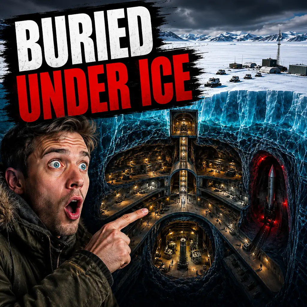
The U.S. Built a Nuclear City Under Greenland. The Ice Won.
FAQs
What is the hidden history beneath the Greenland ice sheet?
The hidden history beneath the Greenland ice sheet refers to the discovery of ancient landscapes, fossils, and evidence of past climate change that have been preserved beneath the thick layers of ice.
How is this hidden history being uncovered?
Scientists are using advanced technologies such as ice-penetrating radar, satellite imagery, and ice core samples to uncover the hidden history beneath the Greenland ice sheet. These methods allow researchers to study the layers of ice and the landscapes and materials trapped beneath them.
What have researchers found beneath the Greenland ice sheet?
Researchers have found evidence of ancient forests, fossils of plants and animals, and even remnants of human settlements beneath the Greenland ice sheet. These discoveries provide valuable insights into the Earth’s past climate and the history of human civilization in the region.
Why is the discovery of hidden history beneath the Greenland ice sheet significant?
The discovery of hidden history beneath the Greenland ice sheet is significant because it provides a unique opportunity to study and understand the Earth’s past climate, as well as the history of life and human activity in the region. This information can help scientists better predict future climate change and its potential impact on the planet.
What are the implications of this discovery for our understanding of climate change?
The discovery of hidden history beneath the Greenland ice sheet has important implications for our understanding of climate change. By studying the ancient landscapes and materials preserved beneath the ice, scientists can gain valuable insights into past climate variations and use this information to improve climate models and predictions for the future.