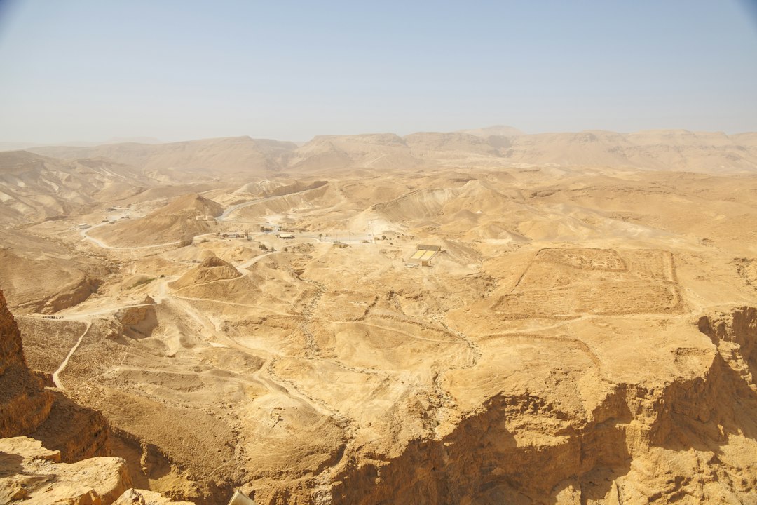
The vast, arid plains of the Nazca Desert in southern Peru hold an enigmatic legacy etched into the earth itself. For centuries, these colossal geoglyphs, known collectively as the Nazca Lines, have captivated the world with their mysterious origins and immense scale. While aerial photography initially revealed these intricate designs – sprawling figures of animals, plants, and geometric shapes stretching for miles – a growing body of research suggests a deeper connection to the ancient landscape and the pathways that once traversed it. Uncovering Nazca geoglyphs along ancient trails offers a compelling new perspective, moving beyond the purely visual to understand the functional and ritualistic purposes of these monumental creations.
Echoes of Footfalls: The Ancient Pathways
The Nazca culture flourished in this harsh environment between approximately 100 BCE and 800 CE, developing sophisticated irrigation systems and a complex social structure. Their survival depended on an intimate understanding of the desert’s resources and the ability to navigate its unforgiving terrain. It is within this context that the ancient trails, or qhapaq ñan (the Inca name for the vast Andean road system, though Nazca predates the Inca by centuries, the concept of well-trodden paths remains), become crucial. These were not mere footpaths but carefully constructed and maintained routes that facilitated trade, communication, and ceremonial journeys.
Tracing the Lines of Connection
The most striking revelation from studying the Nazca geoglyphs in relation to ancient trails is the clear spatial correlation. Many of the larger geoglyphs, particularly the trapezoids and straight lines, appear to be deliberately placed along or adjacent to these ancient pathways. Researchers have painstakingly mapped out the network of these routes, often identifying them by subtle changes in vegetation, the alignment of stones, or the presence of discarded tools and pottery shards. The trails served as arteries, connecting settlements, agricultural fields, water sources, and, crucially, the sacred spaces where the geoglyphs were created.
Pathways as Purposeful Design
The proximity of the geoglyphs to these ancient thoroughfares suggests that they were not merely artistic expressions for a select few to observe from above. Instead, their creation and placement were intrinsically linked to the movement and activities of the Nazca people. The trails provided access, allowing individuals and groups to walk along the edges of the geoglyphs, perhaps even within some of the larger designs, engaging with them on a human scale. This perspective shifts the interpretation from a solely visual spectacle to a multi-sensory experience, deeply embedded in the daily lives and spiritual practices of the Nazca civilization.
The Nazca geoglyphs, with their intricate designs etched into the desert floor, have long fascinated researchers and travelers alike, particularly due to their proximity to ancient trails that once connected various regions of the Andes. These geoglyphs are believed to have served not only as artistic expressions but also as markers for ceremonial pathways. For a deeper exploration of how ancient civilizations utilized their environments and the hidden meanings behind their creations, you can read more in this article: The Hidden Secrets of Control: Uncovering Their Manipulative Tactics.
The Scale of Sacred Geography
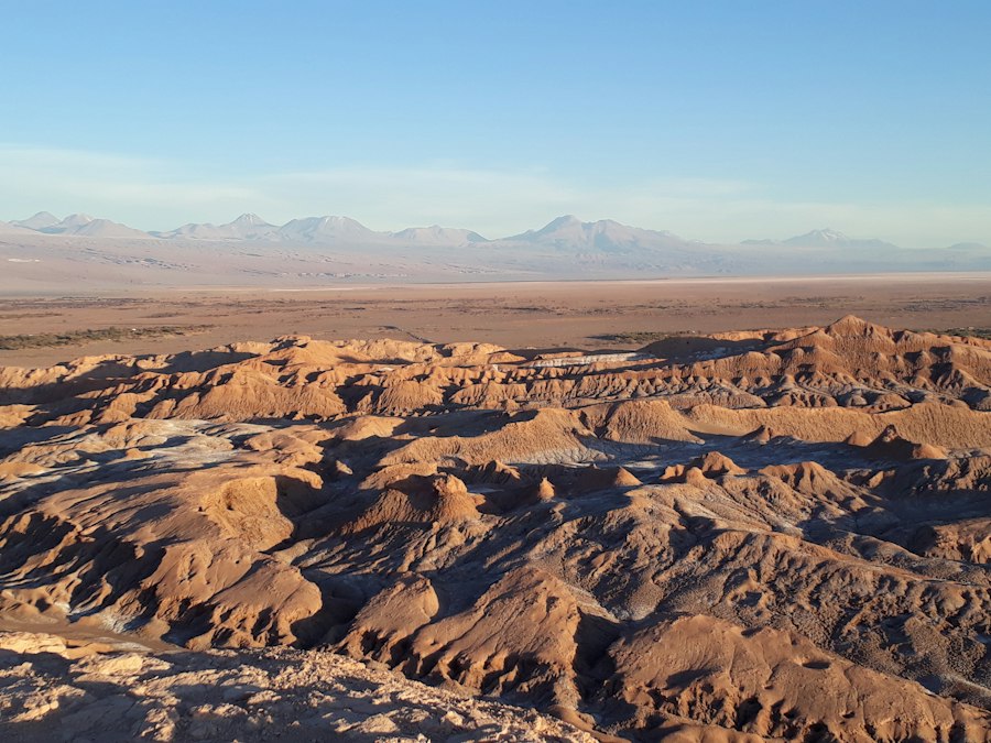
The sheer size of the Nazca geoglyphs is a testament to the profound belief systems and organizational capabilities of their creators. Figures like the hummingbird, the monkey, and the spider, some spanning hundreds of meters, are only fully appreciated from significant elevation. However, the integration with ancient trails suggests that this grandiosity was not solely for the eyes of deities or distant observers but also served a purpose in the terrestrial realm, shaping the sacred geography of the Nazca world.
Walking the Sacred Lines
The idea of walking the Nazca Lines is not a new one, but it gains significant weight when viewed through the lens of ancient pathways. Imagine processions and pilgrimages along the cleared earth, following the precise lines of the geoglyphs. These trails would have guided individuals through the landscape, imbuing their journeys with spiritual significance. The act of traversing these lines, step by step, would have created a tangible connection to the designs, transforming the act of walking into a form of worship or ritual. The straight lines, in particular, could have served as ceremonial avenues, leading participants to specific points of religious importance or facilitating the movement of ritualistic offerings.
Trails as Markers and Navigational Aids
Beyond their role in facilitating movement, the ancient trails likely served as crucial navigational aids, and the geoglyphs, in turn, could have acted as monumental landmarks along these routes. In the featureless desert expanse, a giant hummingbird etched into the sand would have been an unmistakable signpost, guiding travelers towards water sources or important settlements. The precision with which these geoglyphs are executed, coupled with their strategic placement along the ancient pathways, points to a sophisticated understanding of landscape engineering and territorial marking. The trails and the glyphs worked in tandem, creating a system of visible cues that facilitated both practical navigation and spiritual exploration.
The Ritualistic Landscape
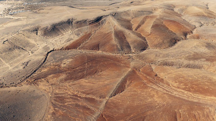
The integration of geoglyphs and ancient trails strongly suggests a significant ritualistic dimension to their creation and use. The Nazca people were deeply connected to their environment, and their religious practices likely involved elaborate ceremonies that utilized the landscape as a sacred stage.
Ceremonial Walkways and Astronomical Observatories
Many of the straight lines emanating from the geoglyphs extend for miles, often terminating at points of significant natural features or seemingly arbitrary locations. When viewed in conjunction with the ancient trails, these lines transform into ceremonial walkways. It is plausible that these pathways were used for processions, where Nazca people would walk the length of these lines, perhaps at specific times of the year, to mark astronomical events or to honor their deities. Some researchers have proposed that certain geoglyphs and the lines associated with them align with celestial bodies, suggesting a sophisticated understanding of astronomy and its integration into their ritualistic practices. The trails would have provided the means for people to actively participate in these astronomical observations, moving along designated paths to witness celestial phenomena from specific vantage points.
Offerings and Ritual Practices Along the Paths
Evidence of offerings, such as pottery shards, animal bones, and textiles, has been found in association with some geoglyphs and along the ancient trails. This suggests that these areas were not just for walking but were active sites of ritual activity. Pilgrims or participants in ceremonies might have left offerings as they journeyed along the pathways, reinforcing the sacredness of the landscape and seeking favor from their gods. The act of creating and maintaining these geoglyphs, and the pathways that connected them, was likely a communal undertaking, a continuous process of appeasement and devotion to the forces that governed their lives. The trails served as the infrastructure for these ongoing rituals, allowing for repeated engagement with the sacred designs over generations.
The Materiality of Creation
The construction of the Nazca geoglyphs involved a remarkable feat of labor and coordination, requiring the removal of the dark, iron-oxide-coated desert pebbles to expose the lighter soil beneath. The ancient trails are not just passive elements in this grand design; they were also integral to the process of creation and maintenance.
Quarries and Material Transport
The raw materials for the Nazca civilization, including ceramics, textiles, and agricultural produce, were transported along the ancient trails. It is highly probable that the stones removed from the desert surface to create the geoglyphs were also transported, at least initially, along these same pathways. The proximity of some geoglyphs to areas with suitable soil for their creation, often indicated by higher concentrations of stone debris, further supports the idea that the trails were used to facilitate the logistical aspects of geoglyph construction. This suggests a symbiotic relationship where the same routes used for daily life and trade were also employed for the monumental task of shaping the earth.
Maintenance and Renewal of the Sacred Landscape
The Nazca Desert is prone to flash floods and wind erosion, meaning that the geoglyphs would have required ongoing maintenance to remain visible. The ancient trails would have been essential for accessing these sites for repair and upkeep. Imagine teams of Nazca people, guided by the established pathways, returning to retouch lines, clear away debris, and ensure the longevity of their sacred designs. This implies a continuous, generational commitment to these earthworks, where the trails provided the practical means for this sustained effort. The very act of maintaining the geoglyphs, facilitated by the trails, would have further reinforced their sacred status and the cultural memory associated with them.
The Nazca geoglyphs, remarkable ancient designs etched into the desert floor of Peru, have long intrigued researchers, particularly regarding their connection to ancient trails used by the Nazca people. These geoglyphs, which include various shapes and figures, are believed to have served not only as artistic expressions but also as markers for ceremonial routes. For a deeper understanding of how ancient civilizations interacted with their landscapes, you might find this article on the significance of historical trails and their connections to cultural practices insightful. To explore more about the implications of such historical connections, visit this article.
Contemporary Perspectives and Future Investigations
| Metric | Value | Unit | Description |
|---|---|---|---|
| Number of Geoglyphs | 300 | count | Estimated total number of Nazca geoglyphs identified |
| Average Length | 50 | meters | Average length of individual geoglyph lines or figures |
| Largest Geoglyph | 370 | meters | Length of the largest known Nazca geoglyph (The Hummingbird) |
| Proximity to Ancient Trails | Within 500 | meters | Distance range where many geoglyphs are found near ancient trails |
| Estimated Age | 500 – 700 | years BCE | Approximate age range of the Nazca geoglyphs |
| Altitude Range | 3000 – 4000 | meters above sea level | Elevation range of the Nazca desert where geoglyphs are located |
| Number of Ancient Trails | 15 | count | Number of known ancient trails near which geoglyphs have been found |
The understanding of Nazca geoglyphs as intrinsically linked to ancient trails is a relatively recent development, driven by interdisciplinary research and advancements in archaeological survey techniques. This ongoing work continues to reveal new insights and challenges previous assumptions.
GIS and Remote Sensing: New Eyes on Ancient Paths
The application of Geographic Information Systems (GIS) and remote sensing technologies has revolutionized the study of the Nazca landscape. By overlaying digital maps of known geoglyphs with the identified ancient trails, researchers can precisely analyze their spatial relationships and identify previously unseen connections. High-resolution satellite imagery and LiDAR (Light Detection and Ranging) can penetrate the desert canopy, revealing subtle topographical features and the faint traces of ancient pathways that are invisible to the naked eye. These technologies allow for a more comprehensive mapping of the Nazca trail network, providing a robust framework for understanding how the geoglyphs were integrated into the broader cultural and physical geography.
The Living Legacy and Cultural Heritage
The ongoing investigation into Nazca geoglyphs along ancient trails has profound implications for our understanding of this ancient culture. It moves beyond the awe-inspiring imagery to reveal a complex society that actively shaped its environment for both practical and spiritual purposes. The trails were not merely routes of transit but were imbued with meaning, serving as arteries for communication, ritual, and the perpetuation of cultural identity. As research continues, future investigations will likely focus on refining the dating of these trails and geoglyphs, exploring the specific rituals associated with different sites, and further understanding the Nazca worldview as expressed through their monumental earthworks and the pathways that connected them. The geoglyphs, once seen as silent enigmas, are now beginning to speak, their voices amplified by the echoes of ancient footsteps along their sacred routes.
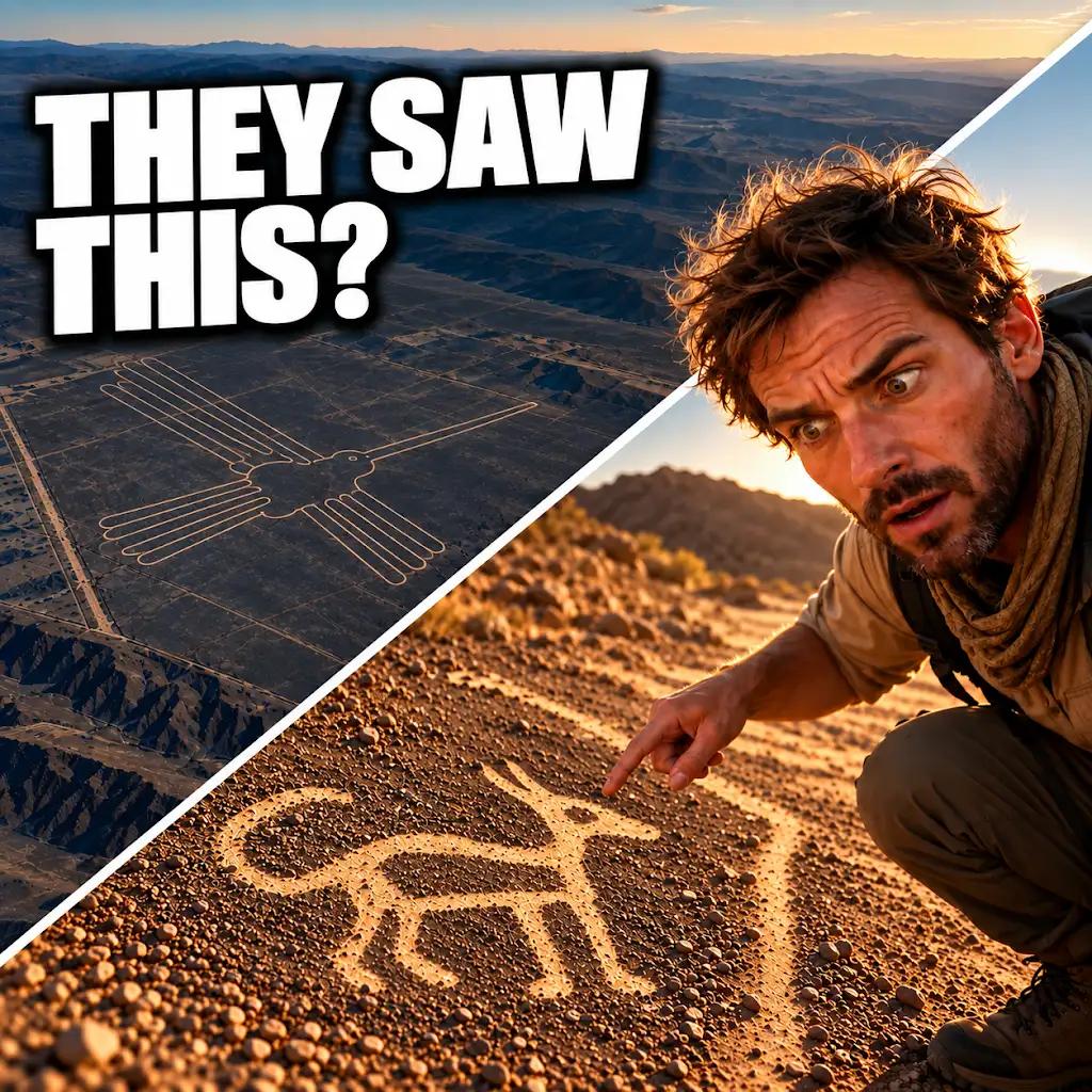
AI Found New Nazca Drawings—Could People See Them from the Ground?
FAQs
What are the Nazca geoglyphs?
The Nazca geoglyphs are large ancient designs created on the ground in the Nazca Desert in southern Peru. They are believed to have been made by the Nazca people between 500 BC and 500 AD.
How were the Nazca geoglyphs created?
The Nazca geoglyphs were created by removing the reddish-brown iron oxide-coated pebbles that cover the surface of the Nazca Desert, revealing the lighter-colored earth underneath. This process created the distinctive lines and shapes that make up the geoglyphs.
What is the significance of the Nazca geoglyphs?
The purpose of the Nazca geoglyphs is still a subject of debate among archaeologists and historians. Some theories suggest they were used for astronomical purposes, religious rituals, or even as markers for underground water sources. Others believe they were created as giant artworks visible from the sky.
How were the Nazca geoglyphs discovered?
The Nazca geoglyphs were first brought to the attention of the modern world in the 1920s when commercial airlines began flying over the Nazca Desert. The designs were not fully appreciated until the 1940s when researchers began to study and document them more extensively.
What is the connection between the Nazca geoglyphs and ancient trails?
Recent research has suggested that some of the Nazca geoglyphs are located near ancient trails that were used by the Nazca people for transportation and trade. This has led to speculation that the geoglyphs may have served as markers or directional signs for travelers along these routes.