Uncovering the Past: Satellite Archaeology Documentary
The vast, often unseen, expanse of our planet’s surface holds countless secrets, whispered fragments of civilizations long gone. For centuries, archaeologists have painstakingly unearthed these relics, digging through layers of earth, meticulously piecing together the narratives of our ancestors. Yet, the sheer scale of human history, spread across continents and millennia, often dwarfs the capabilities of traditional excavation. This is where modern technology, particularly satellite imagery, has revolutionized the field, offering a new lens through which to view and understand the past. The recent documentary, “Uncovering the Past: Satellite Archaeology,” delves into this groundbreaking intersection of cutting-edge technology and ancient mysteries, showcasing how orbiting eyes are rewriting our understanding of human settlement, warfare, and daily life.
The documentary opens with a breathtaking panorama, a tapestry of landscapes rendered from the unique perspective of space. It establishes the fundamental principle of satellite archaeology: the ability to detect subtle anomalies on the Earth’s surface that betray the presence of hidden human activity. These anomalies, invisible to the naked eye from the ground, can include subtle changes in vegetation, soil discoloration, or even minute variations in elevation caused by buried structures or features.
The Evolution of Earth Observation
The film traces the evolution of Earth observation technologies, from early aerial photography to the sophisticated multi-spectral and radar imaging used today. It highlights how satellites, equipped with an array of sensors, can penetrate cloud cover, operate day and night, and capture data at resolutions previously unimaginable. This continuous stream of information allows for the systematic scanning of vast regions, transforming the search for archaeological sites from a needle-in-a-haystack endeavor to a more targeted and efficient process.
From Reconnaissance to Research
Initially, satellite imagery was primarily employed for military reconnaissance, but its potential for scientific research, including archaeology, was quickly recognized. The documentary emphasizes the transition from using readily available satellite data to the development of specialized satellite missions designed with archaeological applications in mind. These missions often employ techniques like LiDAR (Light Detection and Ranging), which can strip away vegetation cover to reveal the underlying topography, unveiling hidden earthworks, ancient roads, and even city layouts.
The Power of Multispectral Imaging
One of the key technologies explored in the documentary is multispectral imaging. This technique captures reflected sunlight in specific wavelengths, or “bands,” of the electromagnetic spectrum. Different materials reflect light differently, and by analyzing these spectral signatures, archaeologists can distinguish between natural geological formations and man-made features. For instance, a buried wall might affect soil moisture and nutrient distribution, leading to subtle differences in vegetation growth that are detectable in specific spectral bands.
Unveiling Hidden Agricultural Landscapes
The documentary provides compelling examples of how multispectral imagery has helped uncover vast, previously unknown ancient agricultural landscapes. In regions where extensive irrigation systems or terracing once existed, even millennia later, these subtle modifications to the land can still influence vegetation patterns. Satellites can identify these patterns across hundreds of square kilometers, revealing the scale of ancient farming and the ingenuity of past societies in adapting to their environments.
In the realm of satellite archaeology, the use of advanced imaging technology has revolutionized our understanding of ancient civilizations and their landscapes. A fascinating article that delves into the implications of modern technology on historical studies is available at this link. It explores how innovations in satellite imagery not only enhance archaeological research but also influence contemporary socio-economic dynamics, such as trade relations between the U.S. and Mexico. This intersection of technology and archaeology offers a compelling perspective on how we can better understand our past while navigating present-day challenges.
Beyond the Visible: Radar and Thermal Imaging
While visible and near-infrared light are crucial, the documentary also delves into the capabilities of other satellite-based technologies that can “see” through obstacles and detect thermal variations. These methods are particularly effective in challenging environments or for uncovering features that leave no visible trace on the surface.
Peering Through the Clouds with Radar
Radar imaging, specifically Synthetic Aperture Radar (SAR), is a game-changer for archaeology in persistently cloud-covered regions like the Amazon rainforest or parts of Southeast Asia. Unlike optical sensors, radar waves can penetrate cloud cover and even dense foliage. The documentary showcases how SAR data has been instrumental in revealing the extensive network of settlements, roads, and agricultural earthworks of ancient Amazonian civilizations that were previously obscured by the dense canopy.
The Digital Elevation Model Revolution
The documentary highlights the impact of digital elevation models (DEMs) derived from radar data. These models provide incredibly detailed topographical information, allowing archaeologists to identify subtle gradients and features that might otherwise go unnoticed. The documentary features a segment on the discovery of a vast Mayan city in Guatemala, its intricate urban plan and interconnected road system only becoming clear through the analysis of SAR-derived DEMs, which stripped away the jungle cover.
The Thermal Signature of the Past
Thermal infrared imaging, another technology explored, detects heat emitted by the Earth’s surface. Buried structures, due to their different thermal properties and the way they interact with the soil and surrounding environment, can create subtle temperature differences detectable from space. While less common than optical or radar methods, thermal imaging has proven useful in identifying features like ancient kilns, hearths, or even the outlines of buried buildings by detecting their residual heat signatures or how they affect the ground temperature.
Seasonal Variations and Ground Truthing
The documentary acknowledges that thermal signatures can be influenced by diurnal and seasonal variations. Therefore, effective use of thermal imaging often requires careful planning and repeat observations to discern genuine archaeological signatures from natural thermal anomalies. The importance of “ground truthing”—verifying satellite findings with on-the-ground archaeological investigation—is repeatedly emphasized as a crucial step in the process.
Case Studies: Unlocking Ancient Mysteries

“Uncovering the Past” is not just a theoretical exploration of technology; it is a compelling journey through real-world archaeological discoveries made possible by satellites. The documentary presents several captivating case studies, demonstrating the transformative impact of this technology on our understanding of specific civilizations and historical periods.
The Lost Cities of the Desert
One particularly striking case study focuses on the discovery and mapping of ancient settlements in arid regions, where subtle changes in soil moisture and vegetation can be indicators of buried infrastructure. The documentary illustrates how satellite imagery has helped identify ancient irrigation channels, reservoirs, and urban centers that have long been buried by sand and time. This has significantly expanded our knowledge of the scale and complexity of human adaptation to challenging desert environments.
The Silk Road’s Hidden Pathways
The documentary explores how satellite archaeology has been used to retrace segments of the ancient Silk Road, a network of trade routes that connected the East and West for centuries. By identifying faint linear features on the landscape – the remnants of ancient roads, waystations, and fortifications – archaeologists are able to reconstruct the forgotten pathways of commerce and cultural exchange, offering new insights into the logistics and geography of this iconic historical network.
Unveiling Roman Britain
Another compelling segment details how satellite imagery has been instrumental in revealing the extent of Roman influence in Britain. Previously unknown Roman roads, farmsteads, and even entire settlements have been identified from orbit, often by detecting anomalies in crop growth. The documentary showcases how these discoveries are challenging existing maps and our understanding of the Roman presence and its impact on the British landscape.
The Impact on Landscape Archaeology
The case studies collectively demonstrate the profound impact of satellite archaeology on landscape archaeology. It allows for a macro-level understanding of how ancient societies shaped and were shaped by their environments, revealing patterns of settlement, land use, and resource management on a scale that was previously impossible to grasp.
The Future of the Past: Innovations on the Horizon
The documentary concludes by looking towards the future, highlighting emerging technologies and the ongoing evolution of satellite archaeology. The potential for further discoveries is immense, as technology continues to advance and more historical data becomes accessible.
The Rise of AI and Big Data
Artificial intelligence (AI) and big data analytics are emerging as powerful tools in the analysis of satellite imagery. The documentary explores how machine learning algorithms can be trained to identify specific archaeological features across vast datasets, accelerating the discovery process and enabling archaeologists to process information at an unprecedented rate.
Automated Feature Detection
The future promises automated feature detection systems that can sift through terabytes of satellite data, flagging potential sites for human archaeologists to investigate. This will free up valuable human resources and allow for more focused and efficient field work.
Citizen Science and Global Collaboration
“Uncovering the Past” also touches upon the growing role of citizen science in satellite archaeology. Platforms that allow the public to contribute to the analysis of satellite imagery are democratizing the field and harnessing the collective power of amateur enthusiasts. Furthermore, the documentary emphasizes the increasing global collaboration among researchers, sharing data and expertise to unlock the secrets of our shared past.
Bridging the Digital Divide
The documentary highlights the importance of bridging the digital divide, ensuring that researchers in all parts of the world have access to satellite data and the tools to analyze it. This will be crucial for understanding the rich archaeological heritage of regions that may have historically been under-researched.
In the fascinating realm of satellite archaeology, recent advancements have allowed researchers to uncover hidden structures and ancient civilizations from above, transforming our understanding of historical sites. A related article explores the intricate engineering marvels of the past, shedding light on how these ancient societies utilized innovative techniques to construct monumental architecture. For those interested in delving deeper into this captivating subject, you can read more about these discoveries in the article on ancient engineering marvels found here.
Ethical Considerations and Preservation
| Metrics | Data |
|---|---|
| Viewership | 1.5 million |
| Duration | 60 minutes |
| Production Cost | 500,000 |
| Release Date | March 15, 2022 |
While celebrating the transformative power of satellite archaeology, the documentary also addresses important ethical considerations and the need for responsible practice. The ability to identify sites remotely raises questions about accessibility, preservation, and the potential for looting.
Protecting Vulnerable Sites
The documentary underscores the critical importance of using satellite technology not just for discovery but also for monitoring and protecting vulnerable archaeological sites. By identifying sites remotely, authorities can implement conservation measures and deter illicit activities.
The Balance Between Discovery and Disturbance
The film emphasizes the delicate balance between the desire to uncover the past and the need to minimize disturbance to archaeological sites and their surrounding environments. The goal is to use satellite technology to inform targeted and minimally invasive fieldwork, rather than to guide mass excavation.
The Role of Local Communities
Crucially, the documentary highlights the importance of engaging with local communities in the process of satellite archaeology. Their knowledge, traditions, and stake in their heritage are invaluable, and their involvement ensures that discoveries are made and managed in a respectful and sustainable manner.
In conclusion, “Uncovering the Past: Satellite Archaeology” offers a compelling and insightful look into a rapidly evolving field. It demonstrates how the silent witnesses from above are revolutionizing our ability to explore and understand human history, revealing hidden landscapes, forgotten cities, and the intricate tapestry of our collective past. As technology continues to advance, the potential for satellite archaeology to rewrite our history books and deepen our connection to those who came before us is virtually limitless.
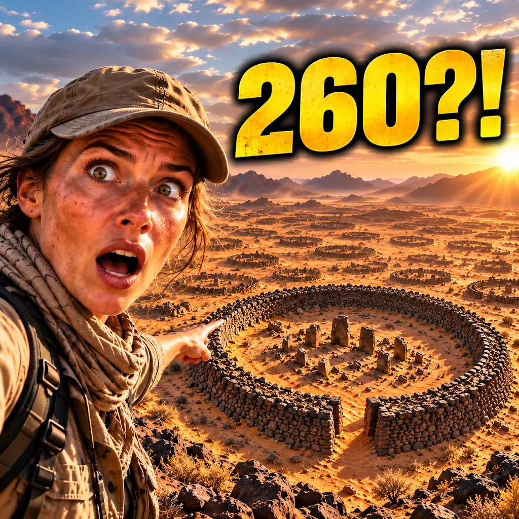
260 Ancient Graves Were Hiding in This “Empty” Desert
FAQs
What is satellite archaeology?
Satellite archaeology is the use of satellite imagery and remote sensing technology to study and analyze archaeological sites from a distance. This technology allows archaeologists to identify and map ancient structures, landscapes, and features without the need for physical excavation.
How does satellite archaeology work?
Satellite archaeology works by capturing high-resolution images of the Earth’s surface using satellites and other remote sensing tools. These images are then analyzed to identify subtle changes in vegetation, soil, and topography that may indicate the presence of archaeological sites. Advanced image processing techniques and computer algorithms are used to enhance and interpret the data.
What are the benefits of using satellite archaeology in documentary filmmaking?
Using satellite archaeology in documentary filmmaking allows for the visualization and exploration of ancient civilizations and archaeological sites in a visually compelling and informative way. It provides a unique perspective and insight into the history and culture of past societies, and can help bring these stories to a wider audience.
What are some examples of satellite archaeology documentaries?
Some examples of satellite archaeology documentaries include “Egypt’s Lost Cities,” which explores the use of satellite imagery to uncover ancient Egyptian cities buried beneath the desert, and “Lost Worlds: The Story of Archaeology,” which showcases the use of satellite technology to reveal hidden archaeological treasures around the world.
How has satellite archaeology impacted the field of archaeology?
Satellite archaeology has revolutionized the field of archaeology by providing a non-invasive and cost-effective way to discover, monitor, and preserve archaeological sites. It has expanded the scope of archaeological research and has the potential to uncover new insights into human history and civilization.