The region of Angkor, home to the magnificent temple complexes of the Khmer Empire, represents a monumental achievement in ancient urban planning and hydraulic engineering. Its sustained prosperity for centuries was not solely due to religious devotion or military might, but critically, to a sophisticated understanding and manipulation of water resources. Unlocking the secrets of Angkor’s ancient water systems provides profound insights into the ingenuity of its builders and the ecological challenges they faced. This article will explore the complexities of these systems, examining their design, function, and eventual decline, offering a comprehensive view of how water shaped one of history’s most enduring civilizations.
The very existence of Angkor as a thriving metropolis depended on its ability to effectively manage water. Unlike many ancient civilizations that settled along major rivers, Angkor was situated in a region with distinct wet and dry seasons, characterized by the monsoon. This climatic reality necessitated the creation of elaborate infrastructure to store, distribute, and control water throughout the year. The Khmer engineers did not merely react to these environmental conditions but actively engineered the landscape to harness its potential.
The Role of Topography and Geology
Angkor’s location was strategically chosen, taking advantage of a gentle slope from the Phnom Kulen plateau down to the Tonlé Sap lake. This natural gradient facilitated the movement of water across the plains. The underlying geology, consisting primarily of laterite and sandstone, provided durable building materials and a relatively stable base for construction, though it also presented challenges for water retention. The porous nature of certain soils required meticulous engineering to prevent seepage and salinization.
The Importance of the Phnom Kulen Uplands
The Phnom Kulen mountains served as the primary watershed for Angkor. Rivers and streams originating from this plateau, such as the Siem Reap River and the Roluos River, were the lifeblood of the city. These waterways were not simply sources but were meticulously channeled and integrated into the broader hydraulic network. Their flow was controlled, diverted, and stored within expansive reservoirs, demonstrating an early understanding of integrated water resources management at a regional scale.
Ancient water management systems played a crucial role in the sustainability and prosperity of civilizations, particularly in places like Angkor, where intricate networks of canals and reservoirs supported a thriving population. For a deeper understanding of these fascinating engineering feats, you can explore the article on ancient water management systems in Angkor by following this link: Ancient Water Management Systems in Angkor. This article delves into the techniques used by the Khmer civilization to harness and distribute water, highlighting their ingenuity and the lasting impact of these systems on modern water management practices.
The Engineering Marvels: Barays and Canals
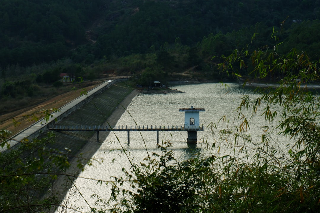
At the heart of Angkor’s hydraulic system were the barays, colossal artificial reservoirs that stand as a testament to the Khmer’s engineering prowess. These massive earthworks were not merely decorative features but served multiple crucial functions, forming the backbone of the entire water management network.
Function and Construction of Barays
The primary function of the barays was water storage. They collected rainwater during the monsoon season and runoff from the rivers, providing a controlled supply of water during the dry months. This ensured the irrigation of rice paddies, sustained the urban population, and allowed for the ritual cleansing required for religious ceremonies. The construction of these barays involved moving millions of cubic meters of earth, a feat accomplished using only rudimentary tools and immense communal labor. For instance, the West Baray, measuring approximately 8 by 2.1 kilometers, could hold an estimated 50-100 million cubic meters of water.
The Network of Canals
Connecting the barays to each other, to the rivers, and to the agricultural fields was an intricate network of canals. These canals varied in size and purpose, from large primary channels diverting entire river flows to smaller distribution channels that delivered water directly to the rice paddies. The gradient of these canals was meticulously calibrated to ensure efficient water flow without causing excessive erosion or sedimentation. The system operated on a gravity-fed principle, eliminating the need for advanced pumping technology.
The Use of Dikes and Embankments
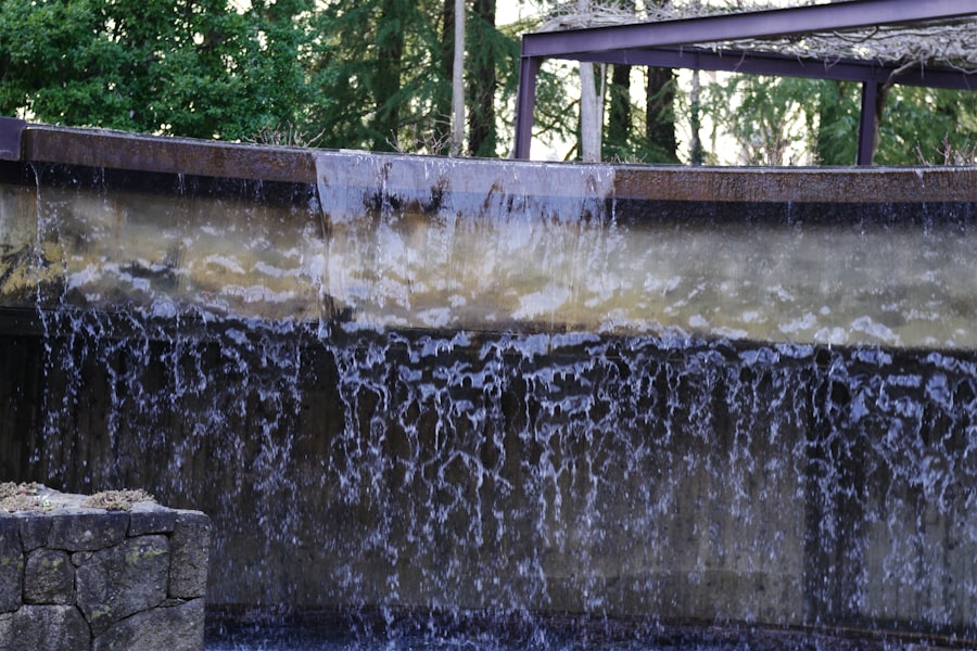
To control water levels within the barays and canals, and to protect against flooding, the Khmer engineers constructed extensive systems of dikes and embankments. These earthworks were carefully designed and maintained, acting as critical components of flood control and water retention. The robustness of these structures is evident in their partial survival to this day.
Agriculture and Sustenance: Feeding an Empire
The sophistication of Angkor’s water systems was inextricably linked to its agricultural productivity. The ability to cultivate rice, the staple food, with consistency and intensity, allowed the Khmer Empire to sustain a large and dense population, fueling its artistic, religious, and political development.
Rice Cultivation and Hydraulic Farming
The primary crop grown around Angkor was wet-rice, requiring vast quantities of water. The hydraulic system facilitated multiple harvests per year, a revolutionary achievement for its time. By controlling irrigation, farmers could minimize the impact of droughts and floods, providing a stable food supply. This intensive agricultural output was a key factor in Angkor’s long-term viability and growth.
The Role of Water in Urban Life
Beyond agriculture, water was integrated into almost every aspect of Angkorian life. It supplied drinking water (often from filtered wells), facilitated transportation through navigable canals, and was central to the elaborate bathing rituals practiced by the elite. The presence of numerous ponds and moats within the temple complexes further underscores the symbolic and functional importance of water in the sacred urban landscape.
The Invisible Threat: Environmental Challenges and Decline

Despite their apparent mastery of water, the Khmer engineers faced significant environmental challenges that, over time, contributed to the decline of Angkor. The very scale and complexity of the hydraulic system, while initially a strength, ultimately presented vulnerabilities.
Sedimentation and Maintenance
The rivers flowing down from Phnom Kulen carried substantial sediment, particularly during the monsoon. Over centuries, this sediment accumulated in the barays and canals, reducing their capacity and impeding water flow. Maintaining such an extensive system required immense and continuous labor, a burden that may have become unsustainable. The gradual silting up of crucial waterways would have directly impacted agricultural yields and urban water supply.
Climate Variability and Extreme Weather
While the Khmer were adept at managing the cyclical nature of the monsoon, they were not immune to more extreme climate fluctuations. Prolonged droughts or unusually intense monsoons could have strained the system beyond its capacity. Droughts would deplete the barays, leading to crop failure, while severe floods could damage infrastructure and disrupt agricultural cycles. Recent paleoclimatic studies suggest periods of significant climatic instability during Angkor’s later history.
The Impact of Deforestation
The construction and maintenance of Angkor’s vast temples and hydraulic features required enormous quantities of timber for scaffolding, kilns, and other purposes. Extensive deforestation in the uplands surrounding Angkor could have exacerbated erosion, leading to increased sedimentation in the lowland hydraulic systems. It would also have altered local hydrological cycles, potentially contributing to more extreme run-off during monsoons and reduced water retention in the dry season.
The ancient water management systems of Angkor are a fascinating topic that highlights the ingenuity of early civilizations in adapting to their environment. These systems included an intricate network of canals, reservoirs, and irrigation techniques that allowed the Khmer Empire to thrive in a challenging landscape. For a deeper understanding of how such historical innovations continue to influence modern practices, you can explore a related article on the subject at Real Lore and Order. This resource provides valuable insights into the legacy of these ancient engineering marvels and their impact on contemporary water management.
Legacy and Lessons: Understanding Ancient Ingenuity
| Aspect | Description | Metric/Value | Significance |
|---|---|---|---|
| Reservoirs (Barays) | Large artificial water reservoirs used for irrigation and water storage | Example: West Baray – approx. 8 km by 2.1 km | Enabled year-round agriculture and supported large population |
| Canal Network | Extensive system of canals connecting reservoirs and temples | Estimated length: over 100 km | Facilitated water distribution and flood control |
| Moats | Moats surrounding temples and urban areas for water management and defense | Width: up to 100 meters; Depth: several meters | Helped regulate water levels and protect structures |
| Water Storage Capacity | Total volume of water stored in reservoirs and canals | Estimated millions of cubic meters | Supported rice cultivation and urban needs during dry seasons |
| Construction Period | Timeframe when major water management systems were built | 9th to 13th centuries CE | Reflects advanced engineering and planning of Khmer Empire |
The study of Angkor’s ancient water systems offers invaluable lessons for contemporary societies grappling with water scarcity and climate change. It reveals an ancient civilization’s deep understanding of its environment and its capacity for large-scale, long-term infrastructure planning.
Resilience and Adaptation
The Khmer engineers demonstrated remarkable resilience and adaptability in shaping their environment. Their intricate water management system was a testament to their ability to innovate and respond to the challenges posed by their unique ecological context. While the decline of Angkor is multi-faceted, initial successes highlight the adaptive capacity of ancient societies.
Integrated Systems Thinking
The interconnectedness of Angkor’s hydraulic system—where rivers, barays, canals, and agricultural fields functioned as a single, coherent entity—demonstrates an early form of integrated systems thinking. This holistic approach to water management contrasts sharply with more fragmented approaches often seen in modern development. Understanding this ancient integration provides a valuable historical precedent for sustainable practices.
The Human Cost of Grandeur
While the achievements of Angkor’s engineers are impressive, it is important to acknowledge the immense human labor involved. The construction and maintenance of these vast hydraulic works would have required the mobilization of a significant portion of the population, often under arduous conditions. The sustainability of such labor-intensive systems, particularly in the face of environmental challenges, remains a critical aspect for consideration.
In conclusion, unlocking Angkor’s ancient water systems reveals not just a collection of impressive structures, but a sophisticated, integrated network that sustained a vibrant civilization for centuries. The barays, canals, and dikes were more than mere engineering feats; they were the arteries of an empire, enabling agricultural productivity, supporting urban life, and even shaping religious rituals. While the eventual decline of Angkor was undoubtedly influenced by a confluence of factors, the environmental challenges related to water management—sedimentation, climate variability, and deforestation—played a significant role. The indelible legacy of Angkor’s hydraulic engineers serves as a powerful reminder of humanity’s enduring struggle to harness, manage, and adapt to the most fundamental of resources: water. Their ingenuity, etched into the landscape itself, continues to offer insights into sustainable living and the complex interplay between human civilization and its natural environment.

WATCH NOW ▶️ WARNING: The Giza Muon Scans Just Changed Everything
FAQs
What was the purpose of the ancient water management systems in Angkor?
The ancient water management systems in Angkor were designed to control and distribute water for agricultural irrigation, flood control, and urban water supply, supporting the large population and extensive rice cultivation of the Khmer Empire.
How did the Angkor water management system work?
The system consisted of a network of reservoirs (barays), canals, moats, and dikes that collected and stored rainwater during the wet season and distributed it throughout the region during the dry season, ensuring a stable water supply year-round.
What are barays and what role did they play in Angkor’s water management?
Barays are large, man-made reservoirs that stored vast amounts of water. They were central to Angkor’s water management, helping to regulate water flow, prevent flooding, and provide irrigation for rice fields.
How did the water management system contribute to the success of the Khmer Empire?
By enabling efficient irrigation and flood control, the water management system supported high agricultural productivity, which sustained a large population and allowed the Khmer Empire to thrive economically and culturally.
Are the ancient water management structures of Angkor still visible today?
Yes, many of the water management structures, including barays, canals, and moats, are still visible today and are studied by archaeologists to understand the engineering skills of the Khmer civilization. Some have been restored or preserved as part of the Angkor archaeological park.