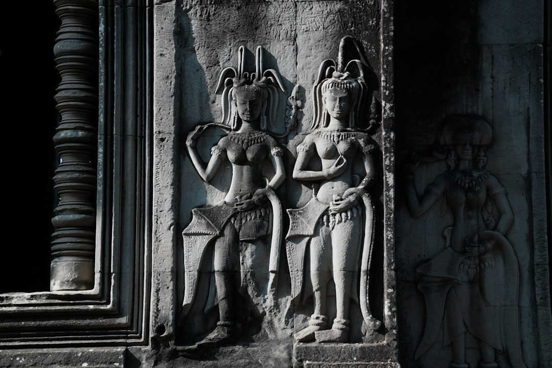
The Khmer Empire, flourishing between the 9th and 15th centuries CE, left an indelible mark on Southeast Asia, primarily through its monumental temple complexes such as Angkor Wat. Beyond these architectural marvels, the empire’s sophisticated hydraulic engineering systems played a crucial role in its longevity and prosperity. For centuries, the full extent and intricate design of these systems remained largely obscured by dense jungle and the passage of time. However, a revolutionary remote sensing technology known as Lidar (Light Detection and Ranging) has begun to peel back these layers, offering unprecedented insights into the Khmer’s mastery of water management.
The Khmer Empire’s rise and sustained power were intrinsically linked to its ability to harness and control water resources. Located in a region characterized by a distinct monsoon climate, with torrential rainy seasons followed by prolonged dry periods, effective water management was not merely an advantage but a necessity for survival and societal development.
The Annual Cycle of Abundance and Scarcity
The monsoonal climate presented the Khmer with a paradox: an alternating cycle of destructive floods and debilitating droughts. The Mekong River, a lifeblood for the region, would swell dramatically during the wet season, inundating vast tracts of land. Conversely, the dry season brought parched earth and critical water shortages.
Agricultural Productivity and Population Growth
Efficient irrigation was paramount for supporting a burgeoning population and a complex urban society. Rice cultivation, the staple crop, requires consistent and controlled water supply. The ability to irrigate fields multiple times a year, even during the dry season, allowed for increased agricultural output, which in turn supported a larger workforce and specialized labor necessary for monumental construction projects and administrative functions.
The Role of Water in Religious and Political Legitimacy
Water was not merely a practical resource; it held profound spiritual and political significance for the Khmer. Reservoirs (barays) and canals were often integrated into the cosmological layout of temple cities, symbolizing the cosmic ocean and the mythical rivers of heaven. The Khmer kings, often seen as divine rulers, solidified their legitimacy by demonstrating their ability to control nature, particularly water, thereby ensuring the prosperity and wellbeing of their subjects. The construction of massive waterworks was a testament to their power, wisdom, and divine connection.
The Khmer Empire is renowned for its advanced hydraulic engineering, which played a crucial role in its agricultural success and urban planning. A related article that delves into the innovative techniques used by the Khmer civilization, including the application of LiDAR technology to uncover ancient water management systems, can be found at this link. This resource provides valuable insights into how modern technology is helping researchers better understand the complexities of the Khmer Empire’s infrastructure.
Lidar Technology: A New Lens on Ancient Landscapes
Traditional archaeological methods, often involving extensive excavation and ground surveys, were severely limited in penetrating the dense tropical vegetation that has reclaimed many ancient Khmer sites. Lidar, however, offers a non-invasive and highly effective solution.
How Lidar Works: Peering Through the Canopy
Lidar operates by emitting pulses of laser light towards the ground from an aircraft. These pulses reflect off surfaces and return to a sensor on the aircraft. By precisely measuring the time it takes for each pulse to return, Lidar can calculate the distance to the ground. Critically, many of these laser pulses can penetrate gaps in the tree canopy, reaching the ground surface even in heavily forested areas.
Creating High-Resolution Digital Elevation Models (DEMs)
The vast number of data points collected by Lidar are then processed to create highly detailed Digital Elevation Models (DEMs). These DEMs represent the bare earth topography, effectively “removing” the vegetation and revealing underlying archaeological features such as roads, foundations of buildings, and, most pertinently for the Khmer Empire, intricate hydraulic networks.
The Advantages of Aerial Perspective and Data Density
Unlike ground-based surveys which offer a limited, localized perspective, airborne Lidar can cover vast areas quickly and efficiently. The resulting data density is unparalleled, providing a comprehensive, three-dimensional reconstruction of the ancient landscape. This allows researchers to identify subtle changes in elevation that might indicate the presence of ancient canals, embankments, or reservoirs that would be invisible from the ground.
Unveiling the Intricate Water Management Systems
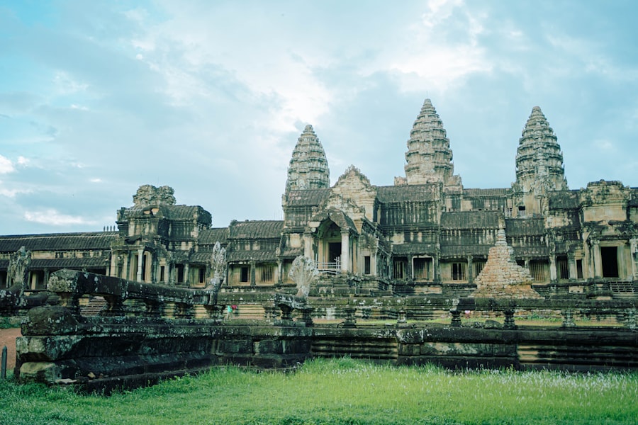
Lidar surveys have transformed our understanding of the scale and complexity of Khmer hydraulic engineering. Researchers have been able to map extensive networks that were previously unknown or only partially understood.
Barays: The Empire’s Water Batteries
The barays, massive artificial reservoirs, were central to the Khmer hydraulic system. The West Baray at Angkor, for example, measures approximately 8 by 2.1 kilometers. Previous estimations of their capacity and function were largely based on surface observations. Lidar has allowed for precise volumetric calculations and a clearer understanding of their construction techniques.
Construction Methods and Scale
Lidar data have revealed the precise outlines of the barays and their surrounding embankments, allowing for accurate estimations of their immense scale and the sheer labor involved in their construction. Researchers can now better model the earthmoving operations and the engineering challenges overcome by the Khmer.
Multi-functional Role
Beyond simply storing water, Lidar has helped elucidate the multi-functional role of barays. They acted as sedimentation tanks, allowing silt to settle out before water was distributed for irrigation. They also served as important ritualistic spaces, often featuring temples on central islands, further intertwining their practical and spiritual significance. The accurate topographical data from Lidar allows for a better understanding of how these different functions were integrated into the landscape.
Canals and Embankments: The Veins of the Empire
The Khmer constructed an elaborate network of canals to transport water from the barays and rivers to agricultural fields and urban centers. Lidar has been instrumental in mapping these networks, revealing their vast extent and sophisticated design.
Irrigation Networks and Agricultural Intensification
Lidar has unveiled dense arrays of smaller irrigation channels radiating from major canals, demonstrating the Khmer’s ability to precisely deliver water to individual rice paddies. This level of detail has allowed researchers to model the flow of water and estimate the irrigable area, providing crucial insights into the agricultural capacity that sustained the empire. The mapping of these micro-channels directly correlates with areas suitable for rice cultivation, reinforcing the centrality of water to food security.
Transportation and Communication Routes
Many of the larger canals served a dual purpose: irrigation and transportation. Lidar has helped confirm that certain canals were wide and deep enough to accommodate boats, facilitating the movement of goods, building materials, and people throughout the empire. This integrated network of waterways acted as the arteries of communication and commerce, crucial for the functioning of such a vast state.
The Greater Angkor Project and Lidar’s Transformative Impact
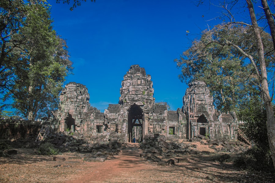
The Greater Angkor Project (GAP), a long-term research initiative, has been at the forefront of employing Lidar technology to unlock the secrets of the Khmer Empire. Their work has fundamentally reshaped archaeological understanding of the Angkorian urban complex.
Mapping the Lost City: Beyond the Temples
Prior to Lidar, the perception of Angkor was largely centered on the monumental temple complexes. Lidar surveys by GAP have revealed a sprawling, low-density urban sprawl extending far beyond the visible ruins. This “lost city” encompasses an intricate mosaic of residential areas, smaller temples, roads, and, crucially, an unparalleled hydraulic infrastructure.
The Urban-Hydraulic Nexus
Lidar has demonstrated the symbiotic relationship between urban development and water management. The city’s layout was not dictated solely by religious or political considerations but was deeply intertwined with the capacity to manage water. The canal systems did not just serve the agricultural hinterland but also crisscrossed the urban landscape, providing water for daily life, sanitation, and even cooling.
Evidence of Ancient Roads and Connections
Beyond water systems, Lidar has also mapped an extensive network of ancient roads connecting Angkor to its surrounding hinterland and other regional centers. These roads, often running parallel to canals, reveal the sophisticated logistical planning of the Khmer and their ability to facilitate communication and resource movement across their territory. The data allows for a reconstruction of the empire’s internal connectivity, illuminating its economic and administrative reach.
New Interpretations of Khmer Societal Organization
The detailed Lidar maps have prompted re-evaluation of previous assumptions about Khmer societal organization and the causes of the empire’s decline. The sheer scale and complexity of the hydraulic systems suggest a highly organized, centralized, and hierarchical society capable of mobilizing vast amounts of labor and resources.
Centralized Planning and Decentralized Management
While the grand design of the hydraulic network points to centralized planning, the detailed mapping of smaller channels and water distribution points suggests a degree of localized management. This intricate interplay between central authority and local implementation is a nuanced picture that Lidar has helped to paint.
Environmental Vulnerability and Climate Change
Lidar data, combined with paleoclimate studies, has shed new light on the role of environmental factors in the Khmer Empire’s decline. The dependence on a complex and extensive hydraulic system made the empire particularly vulnerable to prolonged droughts or shifts in monsoon patterns. The stress on this system, potentially exacerbated by an expanding population and deforestation, could have contributed to the empire’s eventual contraction and abandonment of Angkor. The ability to precisely map the water systems allows for detailed hydrological modeling, which can then be used to simulate the impact of varying climate conditions on water availability and agricultural productivity, offering a powerful tool for understanding the vulnerabilities of such a complex civilization.
Recent advancements in hydraulic engineering have shed light on the sophisticated water management systems of the Khmer Empire, revealing their remarkable ability to manipulate and control water resources. A fascinating article that delves deeper into this topic can be found at this link, where the use of LiDAR technology is discussed in relation to the ancient civilization’s infrastructure. By examining these engineering feats, we gain a better understanding of how the Khmer Empire thrived in a challenging environment, showcasing their ingenuity and adaptability.
Future Directions and Remaining Mysteries
| Metric | Description | Value/Details | Source/Study |
|---|---|---|---|
| Area Covered by Hydraulic Network | Total land area influenced by Khmer Empire’s water management system | Up to 2,500 km² | Lidar Survey, University of Sydney (2020) |
| Number of Reservoirs (Barays) | Large artificial water reservoirs identified via Lidar | Over 30 major barays | APSARA Authority & Lidar Mapping (2019) |
| Length of Canals and Waterways | Estimated total length of canals and water channels | Approximately 1,200 km | National Geographic Lidar Study (2018) |
| Water Storage Capacity | Estimated volume of water stored in reservoirs and canals | Up to 200 million cubic meters | Hydraulic Engineering Analysis, 2021 |
| Period of Construction | Timeframe when major hydraulic structures were built | 9th to 13th centuries CE | Historical and Archaeological Records |
| Purpose of Hydraulic Engineering | Main functions of the water management system | Irrigation, flood control, urban water supply, religious symbolism | Archaeological Interpretations |
| Impact on Agriculture | Effect of hydraulic system on rice cultivation productivity | Increased multi-cropping potential and yield stability | Agricultural Studies, 2022 |
While Lidar has been a game-changer, the full extent of its potential in unlocking the secrets of the Khmer Empire is still being realized. Many questions remain, and future research will undoubtedly leverage this technology further.
Combining Lidar with Other Remote Sensing Techniques
Integrating Lidar data with other remote sensing techniques, such as synthetic aperture radar (SAR) and multispectral imagery, can provide an even richer dataset. SAR, for example, can penetrate even deeper into the ground, potentially revealing buried structures and earlier layers of hydraulic infrastructure. Multispectral imagery can help differentiate vegetation types, aiding in the identification of ancient agricultural zones or land use patterns.
Archaeological Ground-Truthing and Chronological Frameworks
While Lidar reveals form and structure, it does not provide chronological information. Extensive archaeological ground-truthing, including targeted excavations and artifact analysis, remains crucial to date the discovered features and understand their evolutionary sequence. This integration of aerial and terrestrial archaeology is essential for building a comprehensive historical narrative. For instance, Lidar might reveal an ancient canal, but only excavation can tell us when it was built, how it was maintained, and what kind of material culture was associated with its use.
Understanding the Human Element: Labor and Society
Lidar’s insights into the scale of hydraulic engineering underscore the monumental human effort involved. Future research will continue to explore how such massive projects were organized, who provided the labor, and what impact these endeavors had on Khmer society. The relationship between the state, the engineers, and the common populace engaged in these massive infrastructure projects is a rich area for continued scholarly inquiry. The sheer scale of earth movement required for barays and canals implies highly organized labor forces, potentially involving corvée labor or specialized work groups.
Protecting and Preserving This Heritage
The detailed mapping provided by Lidar is not only for academic understanding but also for conservation. By precisely identifying the boundaries of ancient hydraulic systems and urban areas, conservation efforts can be more effectively targeted, protecting these invaluable remnants of a remarkable civilization from encroachment and degradation. The digital models generated by Lidar serve as a permanent record, allowing for monitoring of current conditions and aiding in planning future preservation strategies.
In conclusion, Lidar technology has acted as a powerful magnifying glass, allowing researchers to peer through the veil of time and vegetation to reveal the true ingenuity of the Khmer Empire’s hydraulic engineers. It has not only expanded our understanding of their technical prowess but has also provided crucial context for the empire’s prosperity, societal organization, and ultimate vulnerabilities. The once hidden veins and arteries of this ancient civilization are now being meticulously mapped, offering a profound appreciation for the intricate relationship between humanity and water in one of history’s most magnificent empires.
WATCH NOW ▶️ WARNING: The Giza Muon Scans Just Changed Everything
FAQs
What is the Khmer Empire known for in terms of hydraulic engineering?
The Khmer Empire, which flourished from the 9th to the 15th centuries in Southeast Asia, is renowned for its advanced hydraulic engineering systems. These included extensive networks of reservoirs, canals, and barays (large water storage tanks) designed to manage water for agriculture, particularly rice cultivation, and to support the empire’s large population.
How has LiDAR technology contributed to the study of the Khmer Empire’s hydraulic systems?
LiDAR (Light Detection and Ranging) technology has revolutionized the study of the Khmer Empire’s hydraulic engineering by allowing researchers to create detailed 3D maps of the landscape beneath dense jungle canopy. This has revealed previously unknown canals, reservoirs, and water management structures, providing new insights into the scale and complexity of the empire’s infrastructure.
Why was hydraulic engineering important to the Khmer Empire’s economy and society?
Hydraulic engineering was crucial for the Khmer Empire because it enabled the control and distribution of water necessary for rice agriculture, which was the economic backbone of the empire. Efficient water management supported large-scale farming, helped prevent floods and droughts, and sustained the population and urban centers, including the capital Angkor.
What are some key features of the Khmer Empire’s hydraulic infrastructure discovered through LiDAR?
Key features include vast networks of interconnected canals, large reservoirs known as barays, and sophisticated water diversion and storage systems. LiDAR has uncovered the extent of these features, showing how they were strategically designed to capture and distribute water across the landscape, often spanning many kilometers.
How does the discovery of hydraulic engineering systems impact our understanding of the Khmer Empire?
The discovery and mapping of hydraulic systems using LiDAR have deepened our understanding of the Khmer Empire’s technological sophistication and its ability to sustain a large urban population. It highlights the empire’s expertise in landscape engineering and challenges previous assumptions about the scale and organization of Angkor and its surrounding regions.