
Whispers in the Desert: The Enigmatic Nazca Lines
The arid plains of Peru’s Nazca Desert hold a secret whispered across millennia, etched into the very earth by hands long turned to dust. For centuries, these colossal geoglyphs, vast figures of animals, plants, and geometric shapes, have confounded archaeologists, scientists, and curious minds alike. Their sheer scale, visible only from a bird’s-eye perspective, coupled with their precise execution and the enduring mystery of their purpose, has cemented the Nazca Lines as one of the world’s most captivating archaeological enigmas. This article delves into the ongoing quest to unravel these ancient trails, exploring the latest discoveries and the evolving understanding of how these monumental artworks were created and what they might have meant to the Nazca people.
The Nazca culture flourished in this harsh environment between 100 BCE and 800 CE, a period that saw the creation of these intricate designs. The people who lived and died here were masters of water management, ingeniously channeling scarce resources through subterranean aqueducts known as puquios. They were also skilled artisans, leaving behind a rich legacy of pottery, textiles, and, of course, the awe-inspiring geoglyphs. The lines themselves are formed by removing the reddish-brown iron oxide-coated pebbles that cover the desert surface, revealing the lighter-colored earth beneath. This simple yet effective technique, repeated across hundreds of square kilometers, has allowed these designs to endure the ravages of time and weather. The sheer magnitude of the undertaking is staggering; some lines stretch for miles, and the figures, such as the famous hummingbird, monkey, and spider, are rendered with remarkable accuracy despite their colossal size.
Recent discoveries regarding the Nazca ancient trails have shed light on the intricate network of pathways used by the Nazca civilization, revealing their significance in cultural and religious practices. For those interested in understanding the broader implications of historical preservation and economic stability, an insightful article can be found at Protecting Your 401k in an Economic Collapse, which discusses the importance of safeguarding assets in times of uncertainty, paralleling the need to protect our historical heritage.
The Geoglyphs Unveiled: Mapping Ancient Intentions
The initial discovery and early documentation of the Nazca Lines are credited to Peruvian archaeologist Toribio Mejía Xesspe in the 1920s, though anecdotal reports of their existence predate this by centuries. It wasn’t until the advent of aerial photography in the mid-20th century that the true extent and complexity of these earthworks became apparent to the wider world. Paul Kosok, an American historian, pioneered aerial surveys, documenting many of the figures and famously noting that they appeared to be “the largest astronomy book in the world.” This assertion, while poetic, ignited decades of debate and research into the potential astronomical alignments of the geoglyphs.
Astronomical Puzzles and Celestial Alignments
The theory that the Nazca Lines served as an astronomical calendar or observatory has been a persistent and compelling one. Researchers have meticulously studied the orientations of various lines and figures, seeking correlations with solstices, equinoxes, and the rising and setting points of prominent stars and constellations. Maria Reiche, a German mathematician and archaeologist who dedicated her life to the study and preservation of the Nazca Lines, was a fervent proponent of this astronomical interpretation. She spent decades meticulously measuring, mapping, and clearing the lines, believing them to be a giant celestial map. Her tireless efforts brought the geoglyphs to international attention and laid the groundwork for much of the subsequent research.
While some alignments have been identified, they are not always consistent or universally accepted. Critics point out that in a vast desert canvas, it is statistically probable to find some coincidences. Furthermore, the precise astronomical knowledge required to create such precise alignments would be remarkable for any ancient civilization, let alone one living in a remote desert environment. Despite these reservations, the possibility of a sophisticated understanding of the cosmos among the Nazca people remains an alluring aspect of their civilization. The ongoing analysis of the lines, often aided by advanced digital mapping and statistical software, continues to explore these potential celestial connections, seeking patterns that might have guided ancient rituals or agricultural practices.
Ritual Pathways and Processional Routes
Beyond astronomical theories, a significant body of research suggests that the Nazca Lines were primarily ceremonial pathways or processional routes. The presence of numerous straight lines, some stretching for kilometers, leading to or connecting various figures, has led archaeologists to believe they were intended for pedestrian use. These lines, often referred to as “trails,” could have been used for ritual processions, pilgrimages, or ceremonial walks undertaken by the Nazca people.
Evidence supporting this interpretation includes the discovery of pottery shards and other artifacts along some of the lines, suggesting human activity and perhaps religious ceremonies. The figures themselves, when viewed from ground level, are not always immediately recognizable. They are designed to be seen in their entirety from above. This suggests that the act of walking these lines and observing the figures in sequence may have held a deeper, more spiritual significance than simply appreciating their visual form. The journey along these earth-drawn paths could have been a form of meditation, prayer, or a way to connect with the divine or ancestral spirits.
Crafting the Canvas: Techniques of the Ancient Artisans
The question of how the Nazca people created these immense geoglyphs has always been as intriguing as their purpose. The sheer scale and precision involved, without the benefit of modern surveying equipment or even the ability to fully appreciate their creations from the ground, speak to a remarkable level of ingenuity and organization.
Precision Without Perspective: Ground-Level Execution
The prevailing theory is that the geoglyphs were created using a combination of simple tools and a keen understanding of geometry and surveying. It is widely believed that the Nazca people employed a system of stakes and ropes to mark out the designs on the desert floor. A master design, perhaps drawn on a smaller scale, could have been transferred to the ground by stretching ropes between stakes placed at strategic points.
The Nazca would have worked from the ground up. They likely had a method for projecting the proportions of their designs onto the landscape, possibly using rudimentary measuring devices or by observing shadows cast by markers. The actual creation of the lines would have involved teams of people meticulously removing the dark topsoil with simple tools, such as wooden sticks or stone spades. The debris was then likely moved to the sides of the lines, forming low mounds that are still visible today. The consistency of the line width across such vast distances suggests a coordinated effort and a shared understanding of the process.
The “Master Plan” and Transferring Designs
The concept of a “master plan” or a scaled-down model being used to transfer designs to the desert floor is a cornerstone of many theories. It is theorized that the Nazca created smaller, more detailed versions of the geoglyphs on clay tablets or other portable surfaces. These could then be used as templates, with measurements taken and translated to the larger scale on the ground.
Another possibility involves the use of simple geometric principles. For example, to create a large circle, they might have used a stake at the center and a rope of the desired radius to draw the outline. For more complex figures, a grid system, even a rudimentary one, could have been employed. The remarkable accuracy of some of the figures, such as the spider’s delicate legs or the hummingbird’s beak, suggests a high level of planning and execution. The fact that they were able to achieve such precision without being able to step back and view the entire creation is a testament to their spatial reasoning and collaborative abilities.
Beyond the Lines: The Wider Nazca Context
While the geoglyphs dominate our understanding of the Nazca culture, it is crucial to place them within the broader context of their civilization. The Nazca people were not solely defined by their monumental earthworks. Their lives were shaped by their environment, their social structures, and their beliefs.
Water, Society, and Survival in the Desert
The Nazca Desert is one of the driest places on Earth, receiving an average of only a few millimeters of rainfall per year. The survival of the Nazca people was intrinsically linked to their ability to harness and manage water. Their sophisticated puquios, subterranean aqueducts that channeled water from underground aquifers to their settlements and agricultural fields, are a testament to their engineering prowess. These puquios required constant maintenance, suggesting a highly organized society with a collective responsibility for water management.
This focus on water likely permeated their belief systems and, consequently, their art. Many of the figures depicted in the geoglyphs are animals associated with water, such as hummingbirds (often seen as symbols of life and fertility) or lizards, which can be found near water sources. The agricultural cycle, reliant on precise irrigation, would have been a central aspect of their lives, and it is plausible that the Nazca Lines played a role in rituals aimed at ensuring successful harvests.
Enduring Cultural Legacy and Modern Interpretations
The Nazca culture eventually declined, with their cities and villages abandoned. The reasons for this decline are still debated, with theories ranging from environmental changes and resource depletion to societal collapse or conquest. However, their legacy endures in the silent grandeur of the geoglyphs.
In modern times, the Nazca Lines have become a powerful symbol of Peru and a major tourist attraction. However, their preservation is an ongoing challenge. The delicate balance of the desert ecosystem, coupled with the impact of tourism and environmental factors, requires constant monitoring and protective measures. Furthermore, the ongoing academic and public fascination with the geoglyphs continues to fuel new research and interpretations. From satellite imagery analysis to drone surveys, modern technology is providing new tools to explore these ancient wonders, pushing the boundaries of our understanding.
Recent discoveries regarding the ancient trails of the Nazca civilization have shed light on their intricate network, which has been partly mapped by researchers. These trails, believed to have been used for ceremonial purposes and trade, offer a fascinating glimpse into the lives of the Nazca people. For those interested in exploring more about historical exploration, you might find the article on early explorers of Antarctica quite intriguing, as it highlights the adventurous spirit of humanity in uncovering the unknown. You can read more about it here.
The Unfinished Symphony: Ongoing Discoveries and Future Directions
| Metric | Value | Description |
|---|---|---|
| Number of Trails Mapped | 30+ | Portion of ancient Nazca trails identified and mapped |
| Total Length of Trails | Over 100 km | Estimated combined length of the mapped trails |
| Age of Trails | Approx. 2,000 years | Estimated time period when trails were created |
| Location | Peru, Nazca Desert | Geographical area of the trails |
| Mapping Technology Used | Drone Imaging & Satellite Data | Methods used to identify and map the trails |
| Purpose of Trails | Religious & Ceremonial | Believed function of the ancient pathways |
The study of the Nazca Lines is far from complete. Each new excavation, each refined mapping technique, and each innovative analytical approach adds another layer to our understanding of this ancient civilization and its extraordinary creations. The desert continues to yield its secrets, revealing more about the people who etched their existence into the very fabric of the land.
New Lines, New Insights: Expanding the Known Geoglyphscape
Recent discoveries, often facilitated by advanced aerial and satellite imaging technology, continue to expand the known Nazca geoglyphscape. These new findings are not only adding more figures and lines to the existing catalog but are also revealing previously unrecognized patterns and connections between different sites. For instance, the identification of new straight lines that connect known figures or lead to previously unremarked areas suggests a more extensive and interconnected network of these earthworks than previously understood.
These discoveries often challenge existing theories and necessitate a re-evaluation of previous assumptions. The sheer scale of the desert means that new geoglyphs are likely still hidden, waiting to be revealed by the shifting sands or by the keen eyes of researchers employing ever-more sophisticated detection methods. The mapping of these newly discovered lines is crucial for understanding the complete extent of the Nazca’s monumental endeavors and for developing a more holistic interpretation of their purpose.
The Role of Technology in Unraveling the Past
The application of cutting-edge technology has revolutionized the study of the Nazca Lines. Drones equipped with high-resolution cameras allow for detailed aerial surveys at a fraction of the cost and time of traditional methods. LiDAR (Light Detection and Ranging) technology can penetrate vegetation and map terrain with incredible accuracy, potentially revealing lines hidden beneath the surface or in areas that were previously inaccessible.
Geographic Information Systems (GIS) are invaluable for analyzing the spatial relationships between different geoglyphs, identifying potential astronomical alignments, and creating detailed maps that integrate various data layers. Furthermore, advancements in archaeological survey techniques, including ground-penetrating radar, are helping to uncover artifacts and understand the construction methods employed by the Nazca people. The interdisciplinary nature of modern archaeological research, bringing together geologists, astronomers, anthropologists, and computer scientists, is proving essential in tackling the multifaceted mysteries of the Nazca Lines. The future of Nazca research promises further revelations as technology continues to evolve, offering new perspectives on these ancient trails etched into the desert’s enduring canvas.
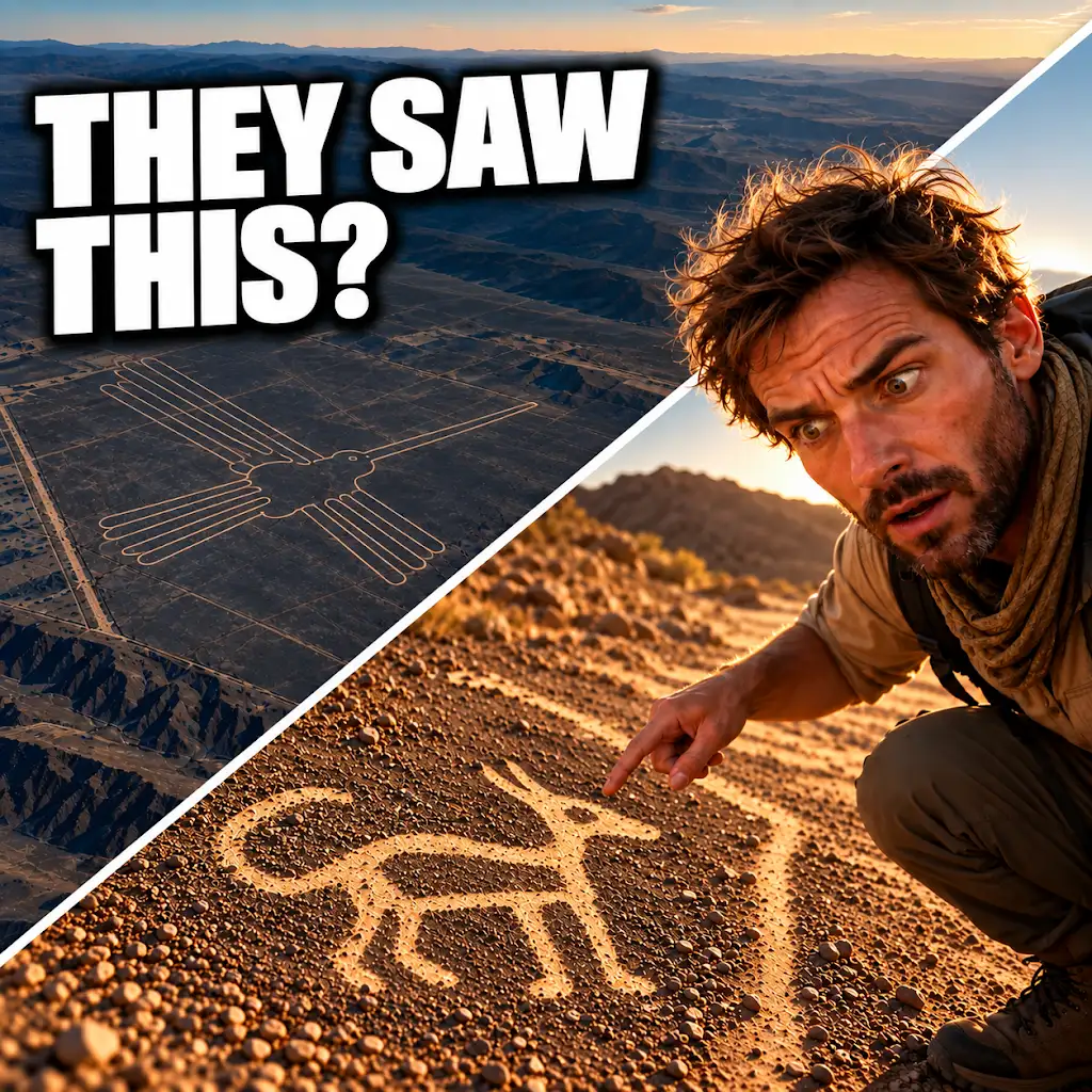
AI Found New Nazca Drawings—Could People See Them from the Ground?
FAQs
What are the Nazca ancient trails?
The Nazca ancient trails are a network of pathways created by the Nazca civilization in Peru, dating back to around 200-700 AD. These trails are believed to have served as ceremonial routes connecting various sacred sites.
How were the Nazca ancient trails mapped?
The Nazca ancient trails were partly mapped using satellite imagery and drone technology. Researchers were able to identify the paths by studying the landscape and patterns left by the ancient civilization.
Why are the Nazca ancient trails significant?
The Nazca ancient trails are significant because they provide insights into the religious and ceremonial practices of the Nazca civilization. The trails also offer clues about how the Nazca people interacted with their environment and neighboring communities.
What is the purpose of the Nazca ancient trails?
The purpose of the Nazca ancient trails is still a subject of debate among archaeologists and historians. Some believe that the trails were used for ceremonial processions and pilgrimages, while others suggest they may have had practical purposes such as trade routes or irrigation systems.
Are the Nazca ancient trails open to the public?
Some sections of the Nazca ancient trails are open to the public for exploration and study, while others are protected archaeological sites. Visitors are encouraged to respect these ancient pathways and follow guidelines set by local authorities to preserve their historical and cultural significance.