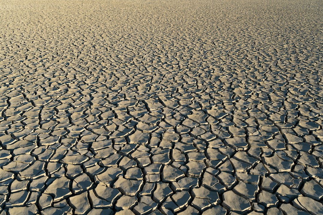
The whisper of ancient winds, the silent testimony of parched earth – these are the echoes scientists endeavor to decipher when they delve into the mysteries of past climates. Humanity’s understanding of climate change today is profoundly informed by the meticulous work of reconstructing Earth’s climatic history. Long before human records began, before even the earliest civilizations arose, our planet experienced periods of dramatic climatic shifts, including prolonged and devastating droughts. Unveiling these ancient droughts is not merely an academic pursuit; it is a critical endeavor that provides context for current climate trends, helps predict future scenarios, and underscores the planet’s inherent sensitivity to atmospheric and oceanic forces. Scientists employ a remarkable array of techniques, ranging from the examination of geological formations to the analysis of minuscule biological remnants, to reconstruct a vivid, albeit indirect, picture of bygone climates.
Echoes in the Ice: Glacial Archives of Climate
The immense, frozen libraries of glaciers and ice sheets hold an invaluable chronicle of Earth’s atmospheric past. As snow falls and accumulates year after year, it traps tiny bubbles of air, effectively freezing samples of the atmosphere at the time of its deposition. These ice cores, drilled from the depths of polar ice sheets and high-altitude glaciers, are veritable time capsules, offering unparalleled insights into past temperatures, atmospheric composition, and even precipitation patterns. The study of these ice cores has become a cornerstone of paleoclimatology, providing some of the most compelling evidence for past climate variability.
Trapped Air: Unlocking Past Atmospheric Composition
The most direct window into past atmospheric conditions offered by ice cores comes from the analysis of the trapped air bubbles. Scientists meticulously extract these bubbles and analyze their chemical composition. By measuring the concentration of greenhouse gases like carbon dioxide (CO2), methane (CH4), and nitrous oxide (N2O) at different depths within the ice core, researchers can reconstruct the historical fluctuations of these critical climate drivers. For instance, ice core data has revealed that pre-industrial CO2 levels were significantly lower than today’s, and that current concentrations are unprecedented in at least the last 800,000 years, if not longer. These records clearly demonstrate the close correlation between rising greenhouse gas concentrations and increasing global temperatures.
Isotopes as Thermometers: Estimating Past Temperatures
Beyond the direct atmospheric samples, the isotopic composition of the ice itself provides a proxy for past temperatures. Water molecules, the fundamental building blocks of ice, consist of hydrogen and oxygen atoms. These atoms have different isotopes – variants with different numbers of neutrons. The most common isotopes are hydrogen-1 (protium) and oxygen-16. However, heavier isotopes like deuterium (hydrogen-2) and oxygen-18 also exist. The ratio of these heavier isotopes to the lighter ones in the ice is directly influenced by the temperature at which the snow originally formed. Colder temperatures lead to a lower concentration of heavier isotopes in the precipitation, as they are more likely to remain in the atmosphere as vapor. By measuring the deuterium-to-hydrogen or oxygen-18-to-oxygen-16 ratios in different layers of the ice core, scientists can create a detailed temperature record stretching back hundreds of thousands of years, allowing them to identify periods of significant cooling and warming, including ancient droughts that were often associated with cooler, drier conditions.
Dust and Ash: Tracing Atmospheric Circulation and Volcanic Activity
The ice cores also contain microscopic particles of dust and volcanic ash. These materials, transported by winds over vast distances, provide further clues about past atmospheric circulation patterns and significant climatic events. An increase in dust concentration, for example, can indicate drier conditions in source regions, suggesting widespread aridity. Layers of volcanic ash, identifiable by their unique chemical fingerprints, can be precisely dated and help to correlate ice core records with other climatic data and to pinpoint periods of major volcanic eruptions, which can have significant, albeit often temporary, impacts on global climate. The presence of certain types of dust can also reveal the prevailing wind directions during the time of deposition, offering insights into past atmospheric circulation.
Scientists studying ancient droughts often rely on a variety of methods, including analyzing sediment cores and tree rings, to reconstruct past climate conditions. For a deeper understanding of how these ancient environmental changes can impact human history and societal development, you can read more in the article titled “The Political Cover-Up of Ancient History” available at this link. This article explores the connections between climate events and historical narratives, shedding light on the broader implications of ancient droughts.
The Earth’s Own Diaries: Sedimentary Records of Aridity
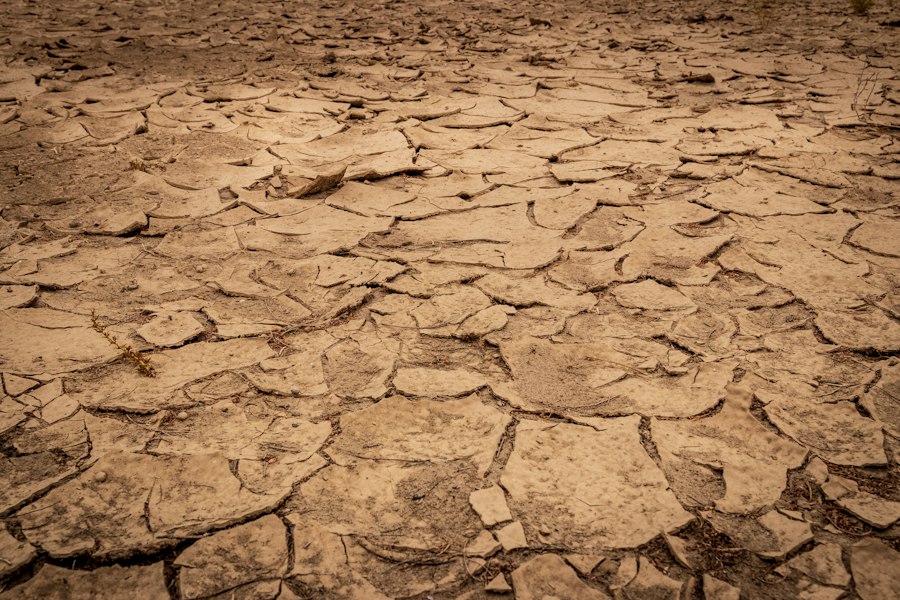
While ice cores offer a pristine snapshot of polar and high-altitude climates, sedimentary rocks and lakebed deposits provide a broader, more geographically diverse record of terrestrial environments, including the telltale signs of ancient droughts. The accumulation of sediments over geological timescales captures evidence of past landscapes, hydrological conditions, and the life that once inhabited them. By carefully examining the layers within these deposits, geologists and paleoclimatologists can reconstruct a detailed narrative of environmental change, including periods of prolonged water scarcity.
Lake Sediments: Witnesses to Water Levels and Salinity
The bottoms of ancient lakes are particularly rich archives of past climate. As water bodies shrink or expand due to changes in precipitation and evaporation, the sediments deposited at the lakebed reflect these fluctuations. Layers of fine mud can indicate periods of stable, high water levels, while coarser sediments or evidence of erosion might suggest periods of lower water and increased wind action. The chemical composition of the sediments can also reveal changes in water salinity. In arid or semi-arid regions, as lakes evaporate, dissolved salts become more concentrated, leading to the deposition of evaporite minerals like gypsum or halite. The presence and extent of these evaporite layers are strong indicators of prolonged periods of drought and shrinking lake systems. Furthermore, the types of fossilized microorganisms found in lake sediments can also provide clues; for instance, the dominance of certain drought-tolerant algae species would suggest drier conditions.
Tree Rings: Annually-Resolved Climate Indicators
For more recent paleoclimatic reconstructions, particularly over the last few millennia, tree rings offer an exceptionally precise and annually-resolved record. The growth of a tree’s trunk is directly influenced by the availability of water and favorable temperatures during the growing season. Each year, a tree produces a new ring of wood. The width and density of these rings vary depending on the environmental conditions experienced during that year. Wider, denser rings generally indicate favorable conditions with ample water, while narrower, less dense rings often signify periods of stress, such as drought or extreme cold. By collecting and analyzing samples from living trees and from ancient, preserved wood, scientists can create “chronologies” that extend back thousands of years. These chronologies can be used to reconstruct past precipitation patterns, identify the timing and severity of ancient droughts, and even map the spatial extent of these arid periods. The study of tree rings is a vital tool for understanding the frequency and magnitude of drought events in historical and pre-historical times.
Pollen Analysis: Reconstructing Past Vegetation
The microscopic grains of pollen released by plants are remarkably durable and can be preserved for thousands of years in sediments. By analyzing the types and abundance of pollen found in sediment cores, scientists can reconstruct past vegetation communities. A shift in pollen assemblages, for example, from moisture-loving forest species to drought-tolerant grasses and shrubs, is a clear indication of a transition to drier climatic conditions and the onset of drought. The spatial distribution of different pollen types can also help to infer past climate zones and their changes over time. This technique allows scientists to understand how ancient droughts impacted ecosystems and to track the gradual shifts in plant life in response to prolonged water scarcity.
The Ocean’s Memory: Marine Sediments and Coral Reefs

The vast oceans, covering over 70% of Earth’s surface, are not only major drivers of global climate but also act as immense reservoirs of paleoclimatic information. Marine sediments, accumulating on the ocean floor over eons, and the skeletons of coral reefs, growing in shallow tropical waters, provide invaluable records of past oceanographic conditions, sea levels, and, by extension, global climate, including periods of intense drought that often have significant impacts on oceanic processes.
Foraminifera and Shells: Tiny Marine Archives
The minuscule shells of marine microorganisms, particularly foraminifera, are crucial for understanding past ocean temperatures and salinity. These single-celled organisms build their shells from the dissolved minerals in seawater. The isotopic composition of oxygen in their shells, particularly the ratio of oxygen-18 to oxygen-16, is a sensitive indicator of both the temperature of the surrounding water and the volume of ice on Earth. During glacial periods, when large amounts of water were locked up in ice sheets, the ratio of oxygen-18 to oxygen-16 in the oceans increased. Furthermore, the chemical composition of their shells can also reveal changes in ocean salinity, which is directly influenced by evaporation rates and freshwater input from precipitation and rivers, both of which are profoundly affected by drought. By analyzing sediment cores containing fossilized foraminifera, scientists can reconstruct a detailed history of ocean temperatures and salinity over millions of years, offering insights into the oceanic drivers and consequences of ancient droughts.
Coral Growth Bands: Tropical Climate Monitors
Coral reefs, built by colonies of tiny marine animals, act as natural archives of tropical climate. Similar to tree rings, corals lay down annual growth bands, and the chemical composition of these bands reflects the environmental conditions of the surrounding seawater at the time of their formation. The ratio of strontium to calcium in coral skeletons, for example, is influenced by sea surface temperature, while changes in trace element concentrations can indicate variations in salinity and rainfall patterns. Examining the growth bands of fossilized corals and comparing them with modern coral growth can reveal periods of prolonged stress, such as marine heatwaves or periods of reduced freshwater input due to droughts affecting coastal areas. These records are particularly valuable for understanding climate variability in tropical regions, which play a significant role in global weather patterns.
Ocean Sediments and Dust Layers: Evidence of Arid Landmasses
The composition of sediments on the ocean floor can also bear witness to terrestrial aridity. Layers of fine dust, blown from desiccated continents by strong winds, can be found interbedded within marine sediments. The amount and type of dust can indicate the extent of arid regions on land and the intensity of wind activity. During periods of widespread drought, land surfaces become exposed and prone to erosion, leading to increased dust transport to the oceans. Analyzing these dust layers allows scientists to infer the occurrence and intensity of ancient droughts affecting continental interiors.
Reconstructing Landscapes: Paleosols and Speleothems
Beyond the direct archives of ice, water bodies, and oceans, the very landforms and geological structures of Earth hold clues to past climatic conditions, including the signature of ancient droughts. Paleosols, which are fossil soils, and speleothems, such as stalagmites and stalactites found in caves, offer unique perspectives on terrestrial environments and hydrological cycles over extended periods.
Fossil Soils: Indicators of Past Hydrology and Vegetation
Paleosols, the ancient equivalents of modern soils, preserve evidence of the hydrological regime and vegetation that characterized a particular landscape at a specific point in geological time. The properties of a soil, such as its color, texture, and the presence of certain minerals, are strongly influenced by the amount of water it receives and the type of plant life that decomposes within it. For instance, well-developed, deep soils with abundant organic matter typically indicate periods of consistent moisture and significant vegetation cover, while shallow, infertile soils with evidence of erosion or calcification might suggest drier conditions and less plant growth, indicative of drought. By studying the characteristics of paleosols preserved in geological strata, scientists can infer past rainfall patterns and vegetation types, helping to identify periods of aridity.
Caves as Climate Vaults: Speleothem Records
Caves, shielded from surface erosion and weathering, provide stable environments for the formation of speleothems. As water seeps through the rock above a cave, it dissolves minerals. When this mineral-rich water drips from the cave ceiling, it deposits these minerals, slowly building up formations like stalagmites (growing from the floor) and stalactites (hanging from the ceiling). The growth rate and the chemical composition of these speleothems are highly sensitive to the amount of water percolating through the rock, which in turn is dictated by regional rainfall.
Isotopic Signatures in Speleothems: Tracking Rainfall
Similar to ice cores, the oxygen and carbon isotopes within speleothems provide a powerful proxy for past climate conditions. The oxygen isotopic composition of the water that forms the speleothem is primarily controlled by the temperature and the isotopic composition of the rainfall. Variations in these isotopes can therefore reveal past changes in temperature and precipitation amount. Additionally, the carbon isotopes can provide information about the vegetation cover above the cave, as well as the soil processes involved in the dissolution of the rock. By analyzing growth layers within a speleothem, scientists can reconstruct detailed records of rainfall variations, allowing them to identify periods of drought and to correlate these events with other paleoclimatic records. The long, continuous growth of some speleothems offers particularly valuable multi-millennial records of hydroclimatic variability.
Scientists have developed various methods to study ancient droughts, including analyzing sediment cores and tree rings to understand past climate conditions. One fascinating aspect of this research involves examining historical maps that provide insights into the Earth’s climate history. For instance, an intriguing article discusses how a 1513 map reveals an ice-free Antarctica, which could shed light on the continent’s past climate and its implications for understanding ancient drought patterns. You can read more about this discovery in the article here.
Synthesizing the Evidence: Building a Global Climate Picture
| Method | Description | Data/Metric Used | Time Scale | Example Application |
|---|---|---|---|---|
| Tree Ring Analysis (Dendrochronology) | Studying growth rings in trees to infer moisture availability | Ring width, density, isotopic composition | Years to centuries | Reconstructing drought patterns over the last 1000 years |
| Lake Sediment Cores | Analyzing sediment layers for organic and inorganic indicators | Pollen counts, charcoal, isotopes, sediment composition | Centuries to millennia | Identifying drought periods through changes in vegetation and fire frequency |
| Speleothems (Cave Deposits) | Studying mineral deposits in caves that record rainfall variations | Oxygen and carbon isotope ratios, growth layers | Decades to hundreds of thousands of years | Reconstructing past monsoon intensity and drought cycles |
| Ice Cores | Extracting ice layers to analyze trapped gases and isotopes | Oxygen isotopes, dust concentration, trapped greenhouse gases | Thousands to hundreds of thousands of years | Studying global drought patterns and climate changes |
| Historical Records | Using written documents, chronicles, and archives | Recorded drought events, crop failures, rainfall logs | Decades to centuries | Correlating drought events with societal impacts |
| Coral Analysis | Examining coral growth bands and isotopes | Sr/Ca ratios, oxygen isotopes, growth rates | Years to centuries | Reconstructing sea surface temperatures and drought-related climate variability |
The true power of paleoclimatology lies not in the isolated analysis of a single proxy record but in the synthesis of diverse datasets. By cross-referencing information from ice cores, lake sediments, marine archives, tree rings, paleosols, and speleothems, scientists can build a more robust and comprehensive understanding of past climate variability, including the timing, duration, and severity of ancient droughts. This multi-proxy approach allows for the validation of findings and the identification of regional and global patterns of climate change.
Correlation and Calibration: Linking Different Archives
A critical step in paleoclimatic research is the correlation and calibration of different proxy records. This involves establishing relationships between the proxy signals and known climate variables, and then using these relationships to interpret the proxy data. For example, scientists may correlate modern tree ring widths with observed rainfall records to establish a calibration equation. This equation can then be applied to older tree ring chronologies to reconstruct past rainfall. Similarly, isotopic ratios in ice cores can be compared with instrumental temperature records to calibrate the temperature proxy. By meticulously cross-dating and comparing records from different geographical locations and different types of archives, researchers can assemble a more coherent picture of past climate.
Identifying Ancient Drought Patterns: Frequency, Intensity, and Spatial Extent
The ultimate goal of studying ancient droughts is to understand their natural variability. By piecing together the evidence from various sources, scientists can identify recurring patterns of drought, determine how frequently severe droughts have occurred in the past, assess their typical duration and intensity, and map their spatial extent. This knowledge is crucial for understanding the resilience of Earth’s climate system and for preparing for future drought events. For instance, paleoclimatic records have revealed that the Dust Bowl of the 1930s, while devastating, was not unprecedented in the geological record of North America. Understanding the characteristics of past megadroughts can provide valuable insights into the potential impacts of future prolonged dry periods.
Informing Climate Models and Future Projections
The insights gained from studying ancient climates are indispensable for refining and validating climate models. These models are essential tools for projecting future climate change, but their accuracy depends on their ability to accurately simulate past climate conditions. By testing model outputs against paleoclimatic reconstructions, scientists can identify areas where the models need improvement and enhance their predictive capabilities. The evidence of past dramatic climate shifts, including severe and prolonged droughts, serves as a stark reminder of the planet’s capacity for significant climatic change and underscores the importance of understanding and mitigating human-induced climate alterations. The lessons learned from these ancient whispers of arid earth are vital for navigating the challenges of a changing world.
Your 401(k) Withdrawal Can Make More of Your Social Security Taxable
FAQs
How do scientists determine past droughts?
Scientists study ancient droughts by analyzing various natural records such as tree rings, ice cores, lake sediments, and cave formations. These records provide valuable information about past climate conditions and can help identify periods of drought.
What role do isotopes play in studying ancient droughts?
Isotopes are variations of elements with different numbers of neutrons. By analyzing isotopes in natural records like tree rings and ice cores, scientists can determine past precipitation levels and temperature changes, which are crucial indicators of drought conditions.
How can ancient pollen help in understanding past droughts?
Ancient pollen preserved in sediment cores can provide insights into past vegetation changes, which can be linked to drought events. By studying the types and abundance of pollen grains, scientists can reconstruct past climate conditions and identify periods of drought.
What is the significance of studying ancient droughts?
Studying ancient droughts can help scientists better understand natural climate variability and improve predictions of future droughts. This research is essential for developing strategies to mitigate the impacts of drought on ecosystems, agriculture, and human populations.
How do scientists use computer models to study ancient droughts?
Scientists use computer models to simulate past climate conditions and analyze the factors that contribute to drought events. By inputting data from natural records and historical climate data, researchers can test different scenarios and gain insights into the causes and impacts of ancient droughts.